Question

Identify the duplicate points within 30m buffer with the same attributes


Forum|alt.badge.img

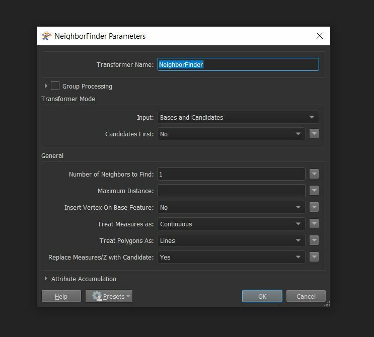
Hi, just learning FME.

I would like to know what transformers to use when I need the ff:


  1. Identify points that are near each other (points within 30m buffer)
  2. Identify the similar attributes of the points within that 30m buffer


The goal is to know the potential duplicate points based on XY and other attributes. Thank you!

3 replies

danilo_fme
Evangelist
Forum|alt.badge.img+42
  • Evangelist
  • August 27, 2021

Hi @lyon​ 


The FME is fantastic.

Answer your questions:


1) The transformer NeighborFinder has a configuration called Maximum Distance that you can set what value that you want:


NeighborFinder 

2) About similar attributes: you can configure the same transformer ( NeighborFinder ) to do this operation . You select the attributes that you want - option GroupBy.


Thanks in Advance,

Danilo


Forum|alt.badge.img
  • Author
  • August 28, 2021
danilo_fme wrote:

Hi @lyon​ 


The FME is fantastic.

Answer your questions:


1) The transformer NeighborFinder has a configuration called Maximum Distance that you can set what value that you want:


NeighborFinder 

2) About similar attributes: you can configure the same transformer ( NeighborFinder ) to do this operation . You select the attributes that you want - option GroupBy.


Thanks in Advance,

Danilo


Hello Danilo,


Thanks for your reply.

Follow up question is:


Maximum Distance is based on what measurement? (meters, kilometers, etc) How can I change the type of measurement?


Forum|alt.badge.img+2
  • September 2, 2021
lyon wrote:

Hello Danilo,


Thanks for your reply.

Follow up question is:


Maximum Distance is based on what measurement? (meters, kilometers, etc) How can I change the type of measurement?


@lyon​ the distance is based on the current units of measure of your data, based on the coordinate system / projection you're using. If your data is in latlong, then you might need to reproject (Reprojector) to a projected coordinate system like UTM


Cookie policy

We use cookies to enhance and personalize your experience. If you accept you agree to our full cookie policy. Learn more about our cookies.

 
Cookie settings