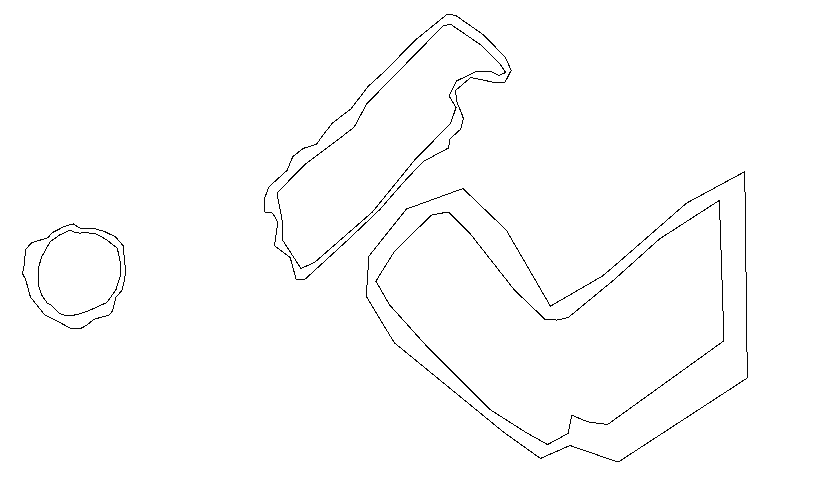
I need to find a relationship between them (with a Spatial Relator or NeighborFinder)
and then give the same ID for the related areas(the candidate receives the base id)
or at least have a tabular summary of id plotted areasThe requestor and Supplier have separetly id list.
This post is closed to further activity.
It may be an old question, an answered question, an implemented idea, or a notification-only post.
Please check post dates before relying on any information in a question or answer.
For follow-up or related questions, please post a new question or idea.
If there is a genuine update to be made, please contact us and request that the post is reopened.
There is a custom transformer - ListCombiner - that can be used with the list generated in the SpatialRelator and the original ID field to create a group attribute
There is a custom transformer - ListCombiner - that can be used with the list generated in the SpatialRelator and the original ID field to create a group attribute