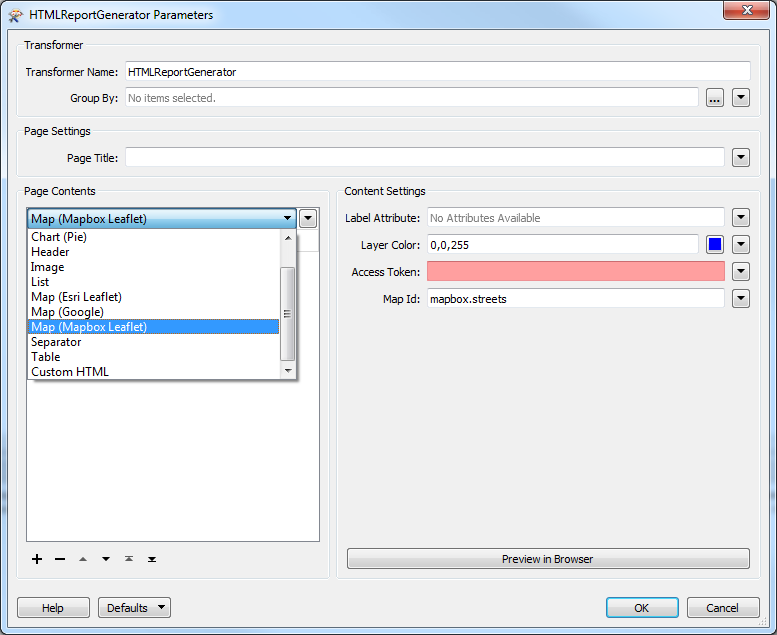
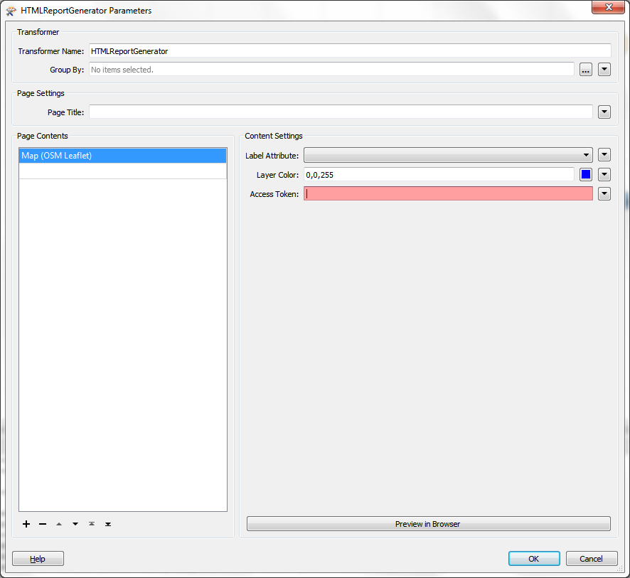
Quick query on the OSM Leaflet option in the HTML report generator, does anyone know where you can retrieve a token for this??
I can't locate one anywhere its driving me crazy.
Thanks
Ciara
This post is closed to further activity.
It may be an old question, an answered question, an implemented idea, or a notification-only post.
Please check post dates before relying on any information in a question or answer.
For follow-up or related questions, please post a new question or idea.
If there is a genuine update to be made, please contact us and request that the post is reopened.
But as jdh notes, this option was removed for 2017, because Mapquest changed their terms and conditions and we wanted to give you other options.
Oh that's a pity I had it in my head I could use Open Street Map but that doesn't look to be available. I'll be using 2017 anyway @Mark2AtSafe any idea if there are plans for access to OSM?
Would be great if I could integrate the National Mapping agencies WMS instead of these options, has anyone tried or had success doing this?
Hi @ciarab - For WMS I guess you could read the data with a FeatureReader, write an image with an AttributeFileWriter, and then reference that file in the HTML. It's one way to do it.
As for OSM, I suppose the Mapbox option lets you use that, in a roundabout way. I looked recently and couldn't find a reliable and free, no account needed web service for reading OSM, which is not surprising really as I think it would get a LOT of traffic. When I win the lottery I'll fund a completely open OSM web service myself!