 Hi everybody,
I have 6 values which are standing for colour values for making maps. So each number is standing for a colour. The values are always the same and the numbers are 59, 63, 70, 72, 76 and 77.
I have a lot of polygone ESRI shapefiles which are showing the administration of each country (OSM Data for example the states of India, which is the first administration level of India). To have the same style in each map for printing, I would like to use the colour values (59, 63, etc.) for every administration of each country. So each shapefile has a attribute field which is called "colour value".
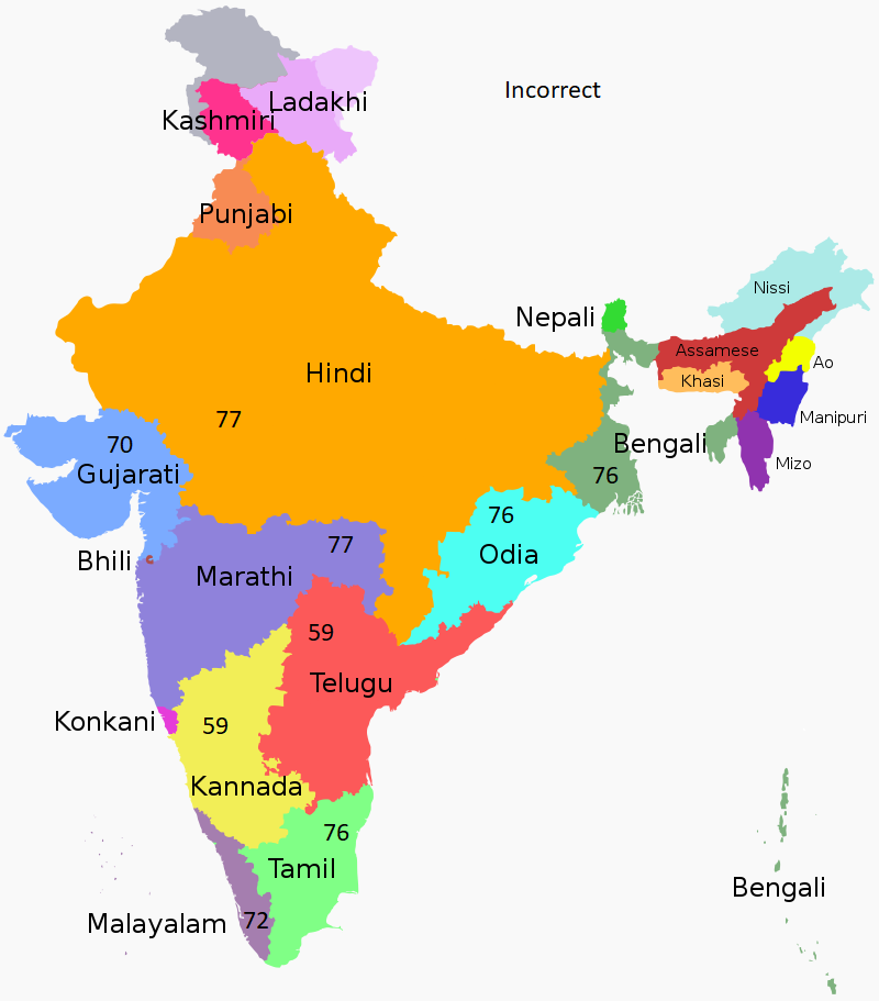
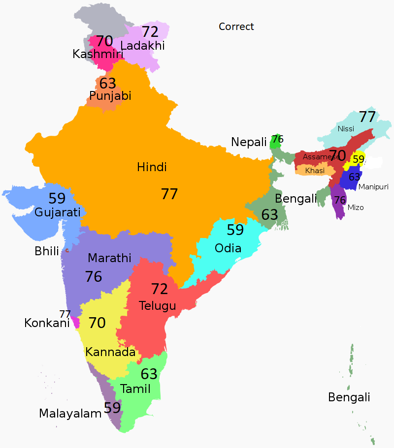
Now the tricky part is: the polygons (so the states of India) should have always one of the values, but the direct neighbour state should have always another value. Otherwise the colour of the states are the same of maybe two of them, which are neighbour states, and you can't see directly the difference on the map after colouring.
I put some picture in the attachment, where you can see the correct version how it should be and the incorrect version.
Has anybody a clue how to resolve that problem automatically? Right now I have to go in each attribute field line and fill out by hand, because I have to watch which is the next neighbour to don't use the same colour value.
Thanks in advance.
Cheers,
Fabian


