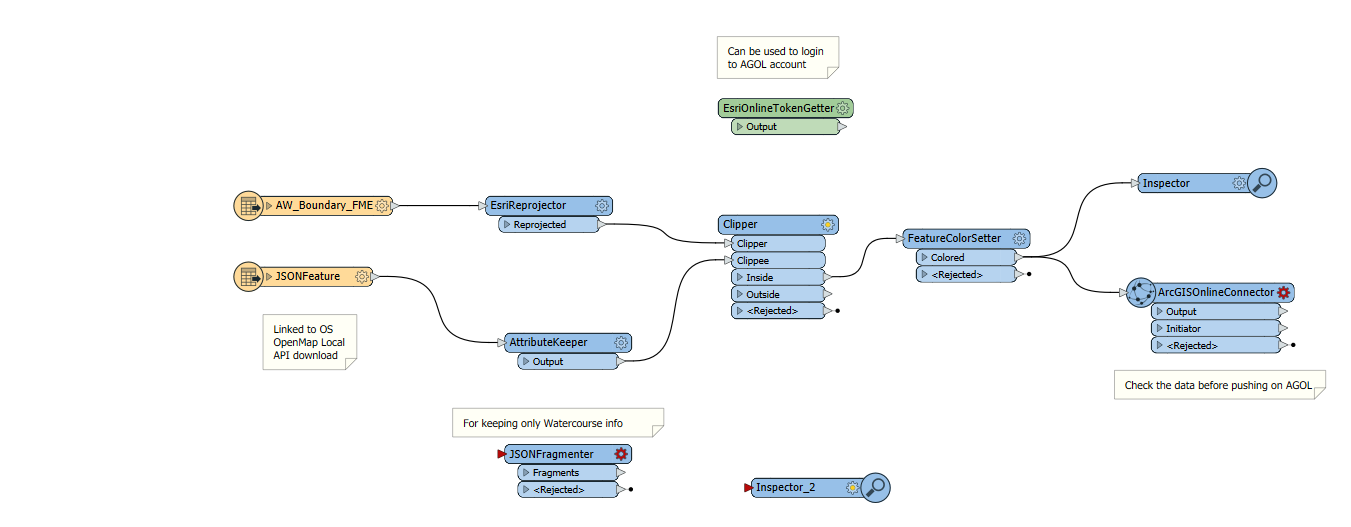
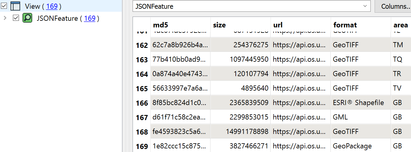
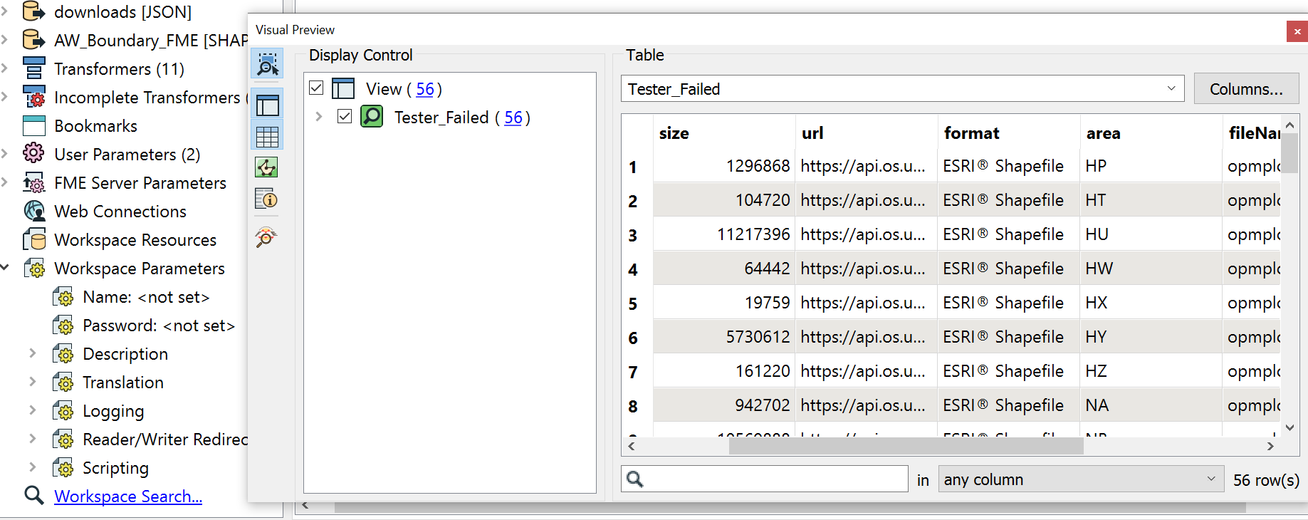
I am downloading data through an API from OS open source. The connection is set up correctly and the data is downloading when ran but it downloads several versions of the data in several formats such as SHP file, GML and Geotiff. For my project im working on I only need the shapefiles but I cannot figure out what tool to use to filter the rest of the unwanted data types out correctly. Or maybe its not a tool and its done in the JSONfeature parametres?
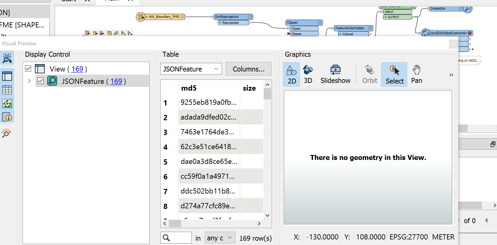
I have attatched some photos below so I hope it helps clear up any questions.


