Hello guys;
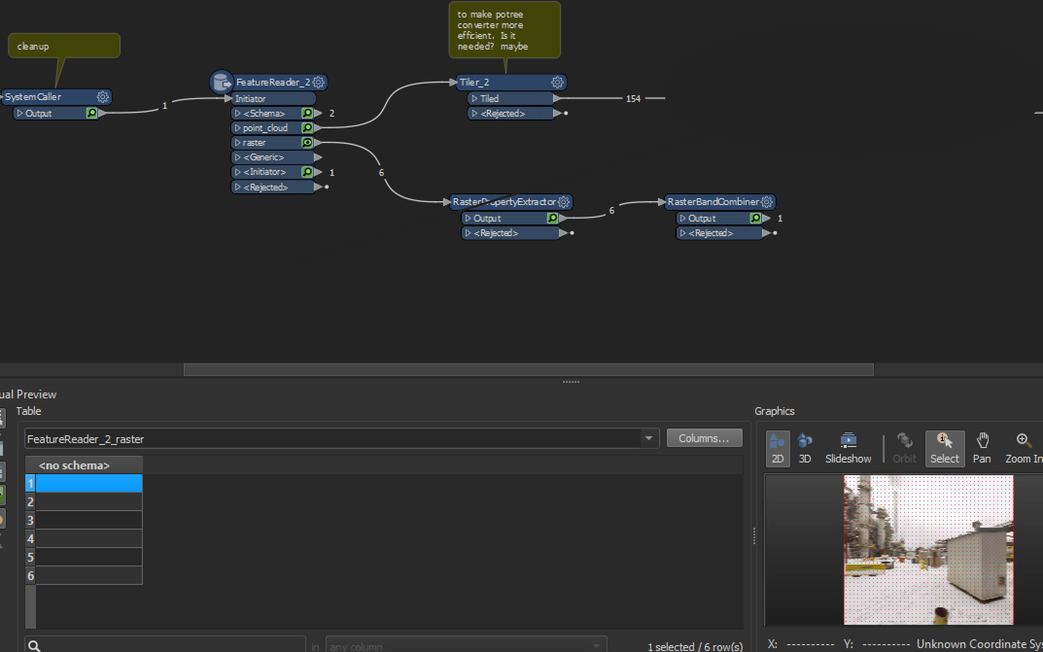
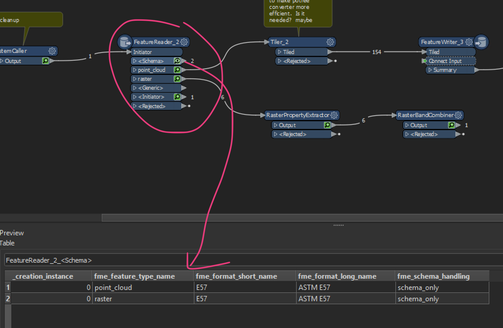
I got some 3D Scan laser scan data as an e57 format and as soon as I open each setup I see that it contains point-cloud data and 6 raster imageries. This is great as I can combine all the point cloud and generate 360 panoramas for each set up
I'm having hard time to extract coordinates from center of the 360 and build a single raster from each set up. No idea why I'm just able to preview just on of the raster and all the remain looks like contains same metada. My guess is that I'm missing something.
Any one with experience extracting 360 panos from and e57 (Coordinates of center of the pano and a single raster?)
Thanks