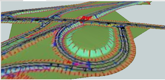
I've got a *.dwg with a surface and an image attached on the right coordinates.

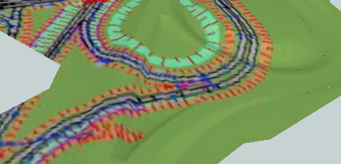
I would like to drape the image over the surface, the image will drape but I coudn't get it on the right coordinates, who could help me please?

The files and workbench are attached.


Thanks!!
A simple solution; use a Clipper first to make sure that they both cover exactly the same area! That works for me.


A simple solution; use a Clipper first to make sure that they both cover exactly the same area! That works for me.


@jonas_nelson thanks for your reply, could you post the solution please ? I Can’t fix it.

I ‘ve posted all files...you will help me a lot! :-)


Hi @sprongandre,

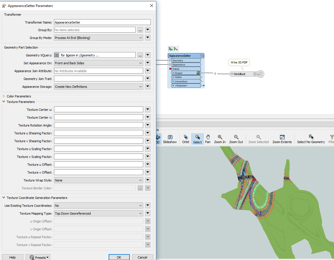
Please remove the Rotator transformer, then open the AppearanceSetter parameters and set Texture Coordinate Generation Parameters - Texture Mapping Type to Top Down Georeferenced. Remove all the settings in Texture Parameters, since these will conflict with the georeferencing.

This setting will overlay the image on the surface based on their location, without the need for clipping.

Hi @daveatsafe I think I understand you, but the image is rotaged (thats why I used the rotator), could you edit the *.fmw file so it works?

thanks!


A simple solution; use a Clipper first to make sure that they both cover exactly the same area! That works for me.


@sprongandre Sorry, but your workspace is not compatible with my old FME 2018, so I can't try it. I just know from my own experience that I've had trouble trying to drape a georeferenced raster image on top of a digital elevation model, but when I clipped them both to the same extent, it worked.


I guess that in your case (since you have to rotate the image), your raster image and your DWG are not even in the same reference system?

Hi @jonas_nelson the workspace is not to difficult, maybe you could rebuild it? That would be great! (I'm really struggeling with it)

thanks


A simple solution; use a Clipper first to make sure that they both cover exactly the same area! That works for me.


@sprongandre OK, I think I got it to work. No Rotator, no offset in the AppearanceSetter, Texture Mapping Type set to "Top Down georeferenced", and a Clipper using the surface outline on the raster. See the attached workspace. (You'll need to reset the path in the FeatureReader again to your file, of course.)

34905-jpeg2pdf-jpeg2000-jpeg_JONAS.fmw


Hi @daveatsafe I think I understand you, but the image is rotaged (thats why I used the rotator), could you edit the *.fmw file so it works?

thanks!


Hi @sprongandre,

It worked OK for me without needing to rotate the image. I notice that you are using an older beta version of FME 2020. Please try updating to the latest version to see if that fixes the problem.

worlddem.pdf


Hi @sprongandre,

It worked OK for me without needing to rotate the image. I notice that you are using an older beta version of FME 2020. Please try updating to the latest version to see if that fixes the problem.

worlddem.pdf

HI @daveatsafe, you're right! After updating FME it did the trick....it was so simple ;-S...thanks a lot!


Reply