I have point table and polygon table in PostgreSQL / PostGIS


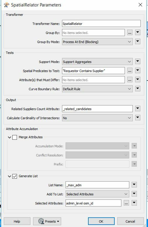
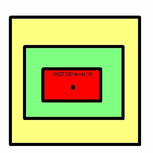
The polygon table is a series of concentric polygons getting ever smaller / nearest the point See Picture

Each point could be in 1 or many polygons

Within this table is a level column


How do I perform a spatial query returning the join between the polygon contains the point where MAX(level) ?


The result I’m expecting is 1 polygon per point (A polygon can contain 1 or more points)PointInPoly
What you could do is use a Spatial Relator with the point being hte requestor the polys being the supplier. You can configure the transformer to generate a list on the output (which will contain the polygon id and level). Then sort the list using a ListSorter so the max level is element 0. Then you can use that value in a FeatureMerger to grab the correct polygon


What you could do is use a Spatial Relator with the point being hte requestor the polys being the supplier. You can configure the transformer to generate a list on the output (which will contain the polygon id and level). Then sort the list using a ListSorter so the max level is element 0. Then you can use that value in a FeatureMerger to grab the correct polygon

@hkingsbury Can you clarify as I’m not getting the expected results


I attach screen shots of workspace and transformers also attach the workspace


SpatialRelator see pic

List Name _max_adm

Selected attributes level + id: Is there any other settings here?

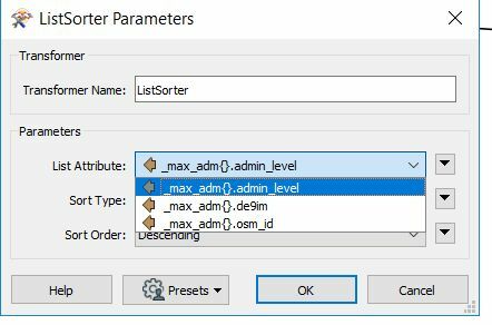
SpatialRelatorListSorter 

List Attributes _max_adm{}.adm_level

Sort Type: Numeric

Sort Order: Descending

ListSorterIf I understand correctly this should give the maximum level at position 0?
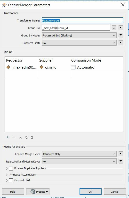
 

FeatureMerger

Requestor is output from  ListSorter osm_id

Supplier is from original Polygon table _max_adm{0}.osm_id

I also tried this with the table id column, didn’t make a difference

FeatureMerger 

My test data has 45 points all of these are coming out of FeatureMerger as Unused Supplier

To reduce the point data I’ve used a WHERE clause I’m unable to this on the polygon data without adding another FME spatial transformer


Am I missing something?


WorkSpace


Reply