Question
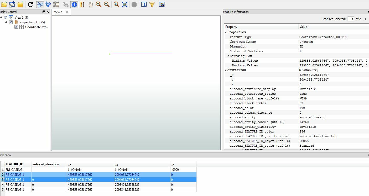
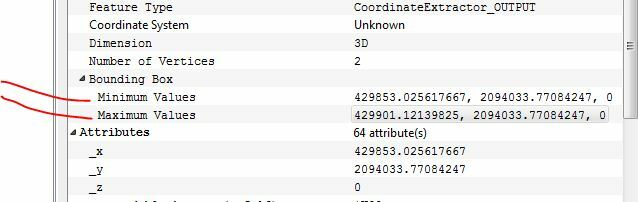
How to convert Cad points to geodb_polylines?

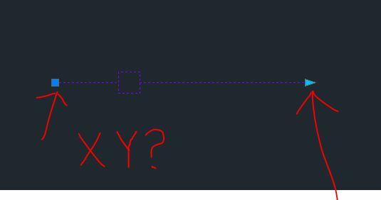
I have a series of dynamic blocks that can stretch in AutoCAD that I would like to convert and store in a geodb_polyline feature set., is this possible? I tried Point connector with no luck?
This post is closed to further activity.
It may be an old question, an answered question, an implemented idea, or a notification-only post.
Please check post dates before relying on any information in a question or answer.
For follow-up or related questions, please post a new question or idea.
If there is a genuine update to be made, please contact us and request that the post is reopened.