Hi,

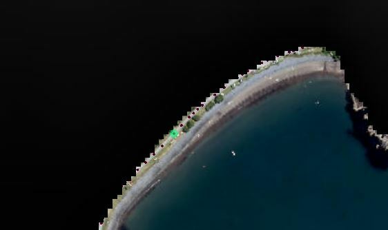
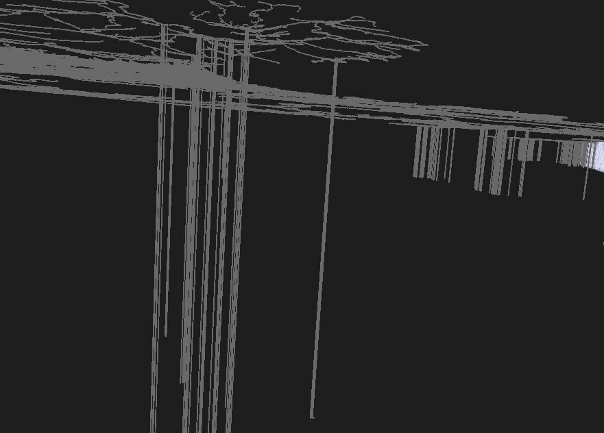
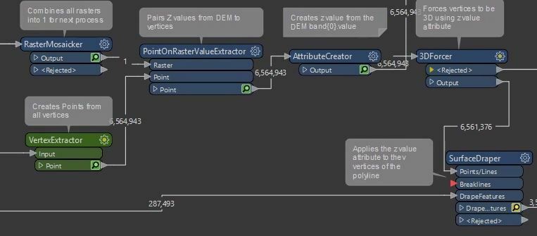
I have a process where I am using a DEM to apply values to vertices of polylines using vertexextractor, point on rasterextractor etc (see below). But I end up with gaps where the z value has been attributed as -32767. These have occurred where the vertices are just outside of the clipped DEM - is there anything i can do to interpolate?Z value application exampleDEM gapsZ value error
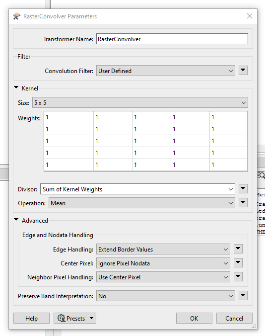
I wonder if you could use a rasterconvolver with the setup something like this to extend the edge of the DEM a bit...image 

Another approach could be to resample the dem to a larger cell size (enough so "data" covers your lines) then resample it back down to your orignal cell size and use that output to fill in the 'Gaps'


You could also try sending the raster back through a RasterDEMGenerator set to Planar mode to try and resolve this. According to our documentation, the planar mode will output the z value as NaN (Not a Number) for points that fall outside the 2D convex hull of the surface model. So values outside of that clipped DEM should essentially be NaN values.


Reply