Question

How can I best clean dwg extents before processing?

  • July 16, 2020
  • 3 replies
  • 15 views

wunderkind
Forum|alt.badge.img

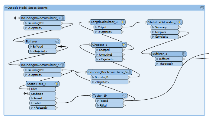
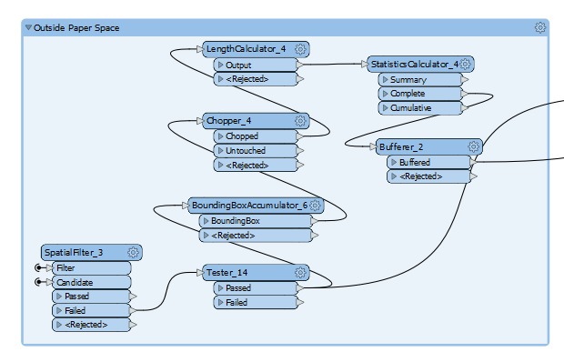
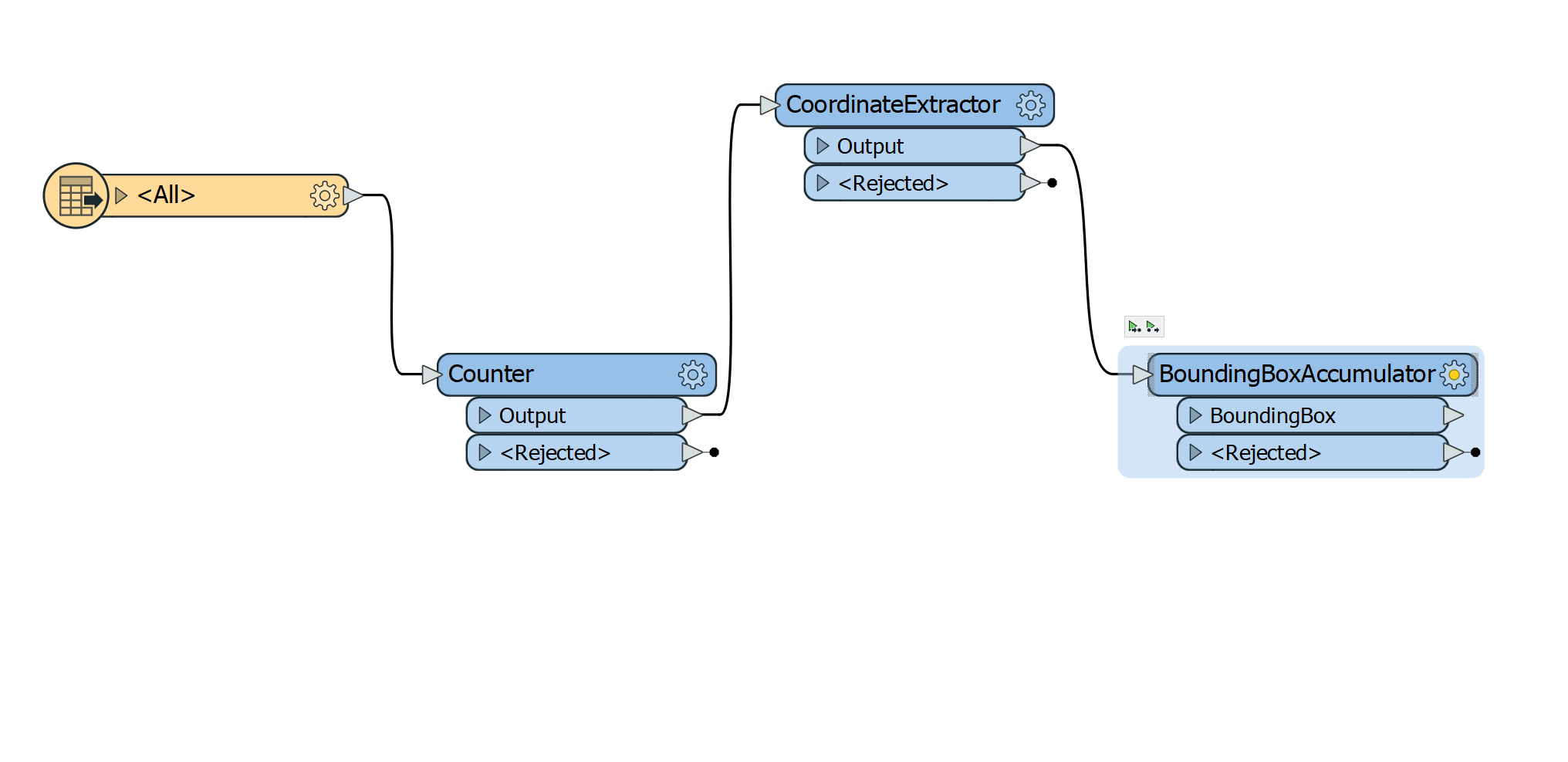
I'm translating dwgs into Esri file geodatabases. I am aware that i can set a search envelope on the reader but this is only useful if I know the extents of the the dwg. In my case I have 100's of dwgs with different extents and in many cases completely incorrect extents for the projection they are in (they could also be in one of 3 projections).The majority of the data in the dwgs is in the correct spatial location but there are spurious points, lines and polygons way off in areas outside of the project bound. This results in feature classes with inconsistent extents. Is there a way to filter the extent prior to processing so that only features in an extent containing at least 90% of the data is processed? I have started with a few things like counting the features and getting the coords and creating a bounding box....but i was wondering where to go from there?

Any suggestions would be most appreciated.

This post is closed to further activity.
It may be an old question, an answered question, an implemented idea, or a notification-only post.
Please check post dates before relying on any information in a question or answer.
For follow-up or related questions, please post a new question or idea.
If there is a genuine update to be made, please contact us and request that the post is reopened.

3 replies

deanhowell
Influencer
Forum|alt.badge.img+24
  • Influencer
  • 315 replies
  • July 16, 2020

Hello @wunderkind, I have done a similar test to check data outside paperspace and outside model space.

If this sounds like what you are trying to do I will put some better documentation together around thje above to see if it is useful :)


wunderkind
Forum|alt.badge.img
  • Author
  • 12 replies
  • July 23, 2020

Thanks for the response @deanhowell. I'm actually only working in model space and that is where the problems are. I'm toying with generating merged areas for all vectors and then assigning the count number to the bounding box to get an area for the 'majority' of the vectors. If you could share you workbench, I will do the same as I progress this.


deanhowell
Influencer
Forum|alt.badge.img+24
  • Influencer
  • 315 replies
  • July 23, 2020

Thanks for the response @deanhowell. I'm actually only working in model space and that is where the problems are. I'm toying with generating merged areas for all vectors and then assigning the count number to the bounding box to get an area for the 'majority' of the vectors. If you could share you workbench, I will do the same as I progress this.

Hello @wunderkind, unfortunately I can't send the workbench as it has a lot of commercial information in it plus it would probably just be confusing as the are close to 400 transformers in the model.

Basically my approach takes the extent of the viewports in paperspace and intersects that with the model space features and anything outside of that is considered an error in the drawing.

If you have a sample drawing that you are trying to process then let me know and I would be more than happy to see what I can do from here.