Question

GTFS Lines along road network

  • March 31, 2025
  • 1 reply
  • 16 views

clowncutie
Contributor
Forum|alt.badge.img+7

I had a look at this documentation:

gtfs-measures/docs/GTFS_Script_Documentation.md at master · VolpeUSDOT/gtfs-measures

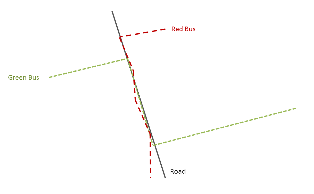
And it is exactly what I would like to do in FME. I already found the script to create lines from shapes, routes and stop text files, the problem is that those lines follow the stop coordinates. I need it to follow an existing road network. I couldnt get the Python script to work and it is pretty old as well. I tried snapping the bus stops to the road network before I run the script, creating a bus_stops_snapped but it still doesn’t really follow the road network. Any idea of how this would be done?


I have the road network as both shp or geoDB. 


I creates line using this FME script

Translating from GTFS – FME Support Center


1 reply

natalieatsafe
Safer
Forum|alt.badge.img+11

@clowncutie Hi there, great question! I noticed that the Snapper transformer is tagged in your question; have you given the AnchoredSnapper a try, by chance? The AnchoredSnapper performs nearly the same action as the Snapper, except with the AnchoredSnapper, you specify one input dataset that is considered accurate, so its features do not move during snapping. 

Try setting up the AnchoredSnapper, where your road network is the anchor dataset, and the bus stops are the candidate features. Then choose the Segment Snapping option for the Snapping Type parameter, and play with the Snapping Distance until you see your bus stops accurately snapping to your roads. 

Let us know how this test goes! 


Cookie policy

We use cookies to enhance and personalize your experience. If you accept you agree to our full cookie policy. Learn more about our cookies.

 
Cookie settings