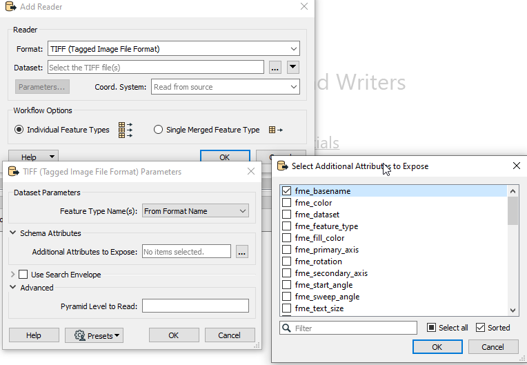
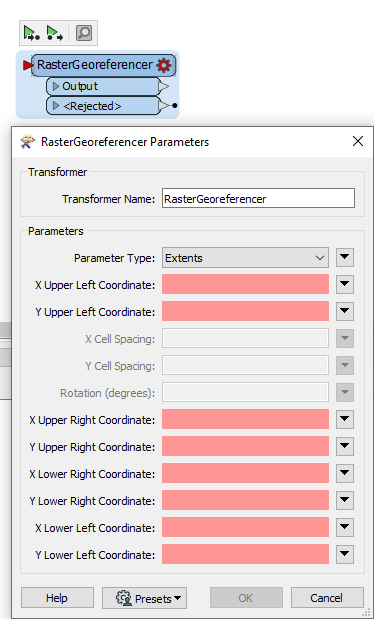
Hello every one. I have a folder with 700 .tiff raster files (images) and a external orientation text file with 700 rows of ID (name of the raster file), X, Y and rotation of the center point of each raster file. How could I convert all these in to geotiff? How do y manage to relate each row of the text file to its raster file? After this is solved I gess it should be easy to georeference them with the rastergeoreferencer...

Question
Georeference raster using external orientation text file?
This post is closed to further activity.
It may be an old question, an answered question, an implemented idea, or a notification-only post.
Please check post dates before relying on any information in a question or answer.
For follow-up or related questions, please post a new question or idea.
If there is a genuine update to be made, please contact us and request that the post is reopened.


Login to the community
No account yet? Create an account
An FME Account is required to contribute
LoginEnter your E-mail address. We'll send you an e-mail with instructions to reset your password.