
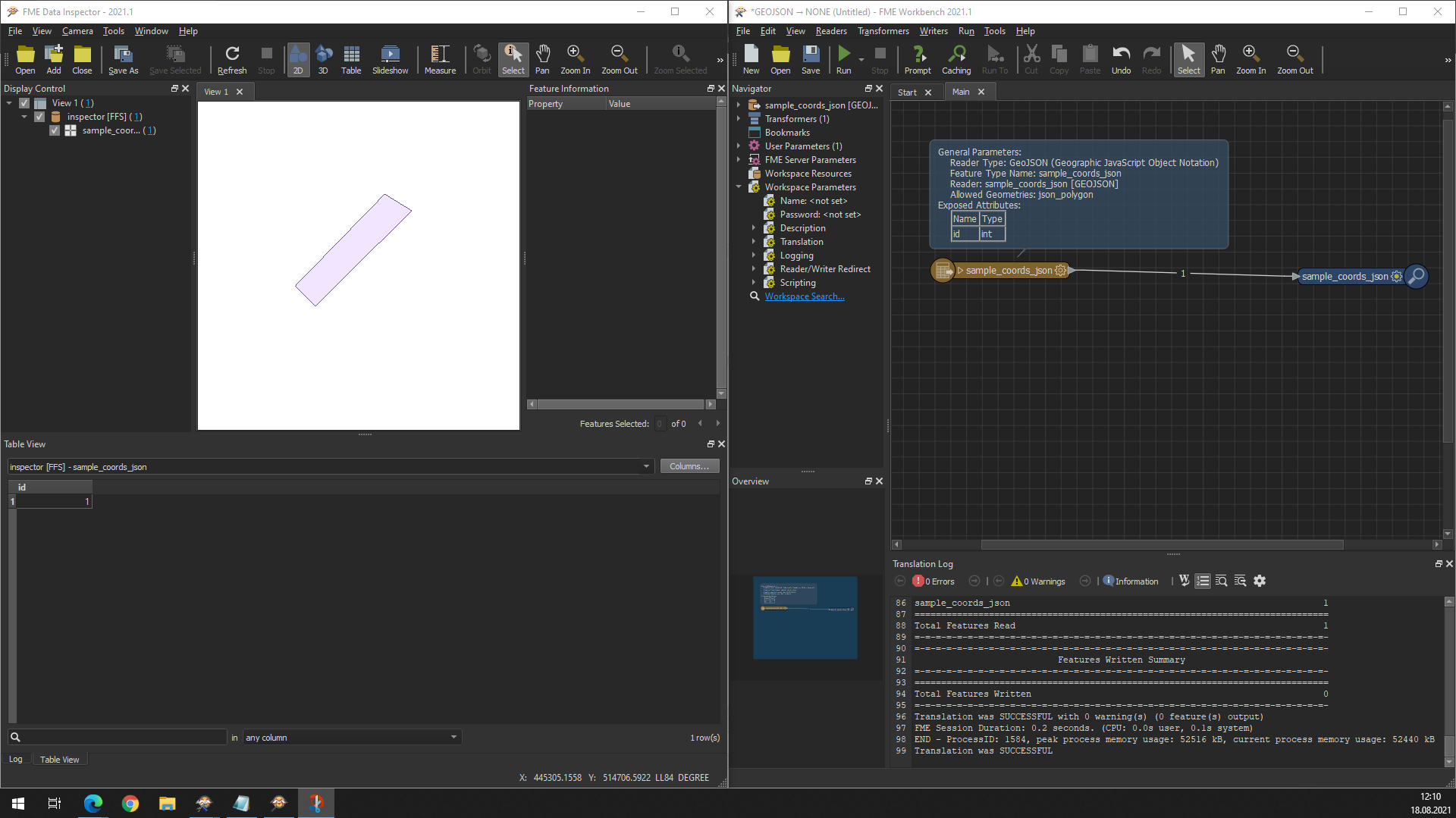
I have been given a .JSON file to try and convert into an output Esri File Geodatabase format. I have managed to flatten the nested JSON values into attributes, and can view these ok. However, I am having a real issue trying to get my workbench to read the coordinate values that make up the polygon geometry objects. If someone could assist that would be much appreciated. I have attached a file, but stripped it back just to include the line containing the coordinate information for one polygon. Thanks, R


 Maybe it's something else. How are you trying to read your JSON file (classic reader or FeatureReader or a JSON transformer)? Maybe you need to reinsert the reader.


")