Read it as GeoJSON and set a coordinate system
Unfortunately, when I tried that I got this result i.e.
Using your sample:Maybe it's something else. How are you trying to read your JSON file (classic reader or FeatureReader or a JSON transformer)? Maybe you need to reinsert the reader.
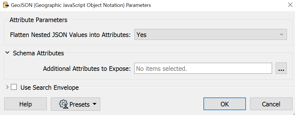
I just pulled the file into workspace, after opening it in Notepad to see it's header to figure out the flavor of JSON, and it worked.
Unfortunately, when I tried that I got this result i.e.
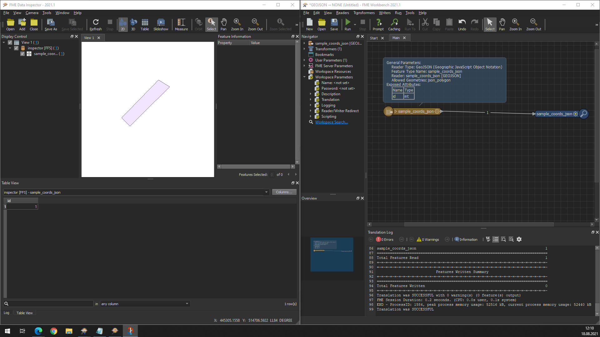
I reinserted the reader i.e. GeoJSON into a new workspace, and I managed to replicate your geometry output - so that's a good start.
Anyway, these coordinates are just part of a larger JSON file I received that contains other attribute information (see attached). When I try and process this using the GeoJSON reader that is when I do not get the results I am expecting i.e. being able to view the attributes in separate fields and being able to display the polygon that contains those attributes.
Unfortunately, when I tried that I got this result i.e.
The Geometry definition is definitely GeoJSON, your file, I don't know.
Try inserting it as JSON and before hitting OK on the Reader go to Parameters -> Feature Parameters and set Geometry Format to GeoJSON and it should automatically populate Geometry Key Name with json_geometry and Coordinate System Key Name with json_ogc_wkt_crs. Else, write them down yourself.
Alternatively, use GeometryExtractor after reading the JSON file with Geometry Encoding set to GeoJSON.
Your sample is recognized but gives an INVALID_GEOMETRY_VERTICES rejection code on the geometry that may be the work of your anonymizing/missing schema feature.
Unfortunately, when I tried that I got this result i.e.
I tried your suggestions (on the full dataset that I have) - and unfortunately the process is failing due to the INVALID_GEOMETRY_VERTICES reason I am also receiving. Anyway, thank you for your ongoing assistance and advice on this matter!
Hi @gis_person! I was able to create a polygon feature using the JSON Reader, and a few JSON transformers. Most importantly, I had to isolate the Geometry array in order to successfully create a polygon, otherwise it kept throwing up the same error you were getting.
I have attached the sample workspace. Hope this helps move you in the right direction!
Hi @danminneyatsaf - thank you for providing your solution, which has significantly helped with what I was trying to do. I have now been able to use your solution and expand it to process our full JSON extract. Thanks again!!
Hi @danminneyatsaf
I can’t see your workspace here. It would be very helpful to see how you solved this.
Best regards,
Felipe Verdú
@felipeverdu we’ve resolved the missing files and re-uploaded them. Thanks for the ping!
Cheers,
Dan M
@felipeverdu we’ve resolved the missing files and re-uploaded them. Thanks for the ping!
Cheers,
Dan M
@danminneyatsaf , I can’t see your workspace as it shown ‘file wasn’t available on site’. Could you please re-upload the workspace?
Thanks
@blue_star we’re currently experiencing an issue with our FME Community platform where attachments cannot be downloaded, which is likely causing the file to fail to download. Apologies for the convenience! Keep an eye on the community home page for updates - you should see the notice in the blue banner.