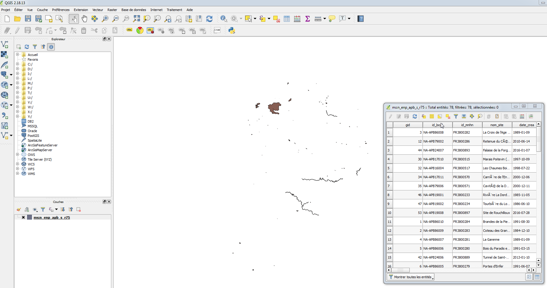
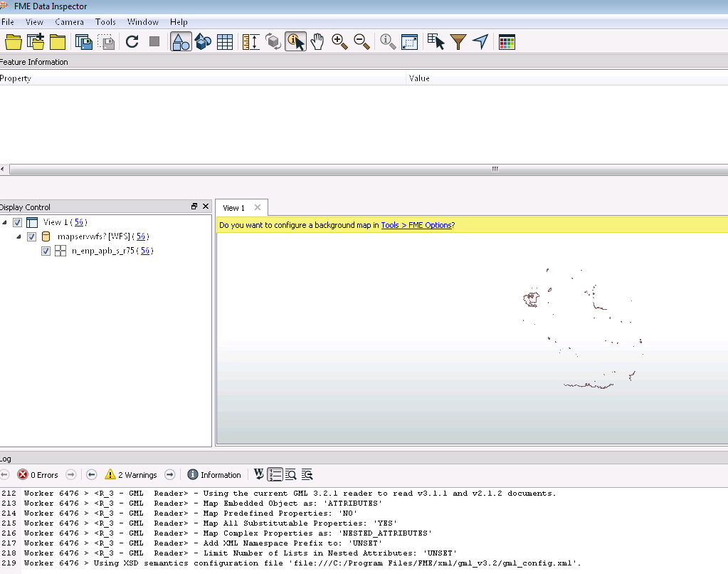
Can you provide the URL of the WFS to It definitely should work but we'd need information to understand why you're seeing what you're seeing. Sorry for this.
Hello,
Thank you for your answer.
For more Information, the WFS is
https://carto.sigena.fr/cgi-bin/mapservwfs? The table "n_enp_apb_s_r75 {n_enp_apb_s_r75}"
FME see 56 polygons
QGIS see 78 polygons.
FME ignore the multipart polygons in WFS and in shp files also.
Thanks
Best regards
Hello,
Thank you for your answer.
For more Information, the WFS is
https://carto.sigena.fr/cgi-bin/mapservwfs? The table "n_enp_apb_s_r75 {n_enp_apb_s_r75}"
FME see 56 polygons
QGIS see 78 polygons.
FME ignore the multipart polygons in WFS and in shp files also.
Thanks
Best regards
If I query the service, it returns 56 results:
https://carto.sigena.fr/cgi-bin/mapservwfs?&service=wfs&version=2.0.0&request=getfeature&typenames=n_enp_apb_s_r75&resulttype=hits
numberMatched="56"
What version of QGIS do you use? I checked in 3.4.2 and it resulted in 56 features as well.
But QGIS 2.18.19 counts 68 features...
Yes, I see the same 56 in both QGIS and FME. There are multipart polygons within those 56 (can deaggregate to 72 features)
If I query the service, it returns 56 results:
https://carto.sigena.fr/cgi-bin/mapservwfs?&service=wfs&version=2.0.0&request=getfeature&typenames=n_enp_apb_s_r75&resulttype=hits
numberMatched="56"
What version of QGIS do you use? I checked in 3.4.2 and it resulted in 56 features as well.
But QGIS 2.18.19 counts 68 features...
I use QGIS 2.18.13

But in FME DATA INSPECTOR you see:

In the pictures you can see that FME Data Inspector miss à lot of polygons.
Also, in the table of QGIS you can see "Total entités 78". But in FME Inspector 56.
The database behind the service might have to update the extents of the featureclass. When you add a big boundingbox to the query it works:
https://carto.sigena.fr/cgi-bin/mapservwfs?&service=wfs&version=2.0.0&request=getfeature&typenames=n_enp_apb_s_r75&BBOX=-9589968,-3586633,10633187,16635814&resulttype=hits
numberMatched="78"
If you add this boundingbox in FME it returns 78 features as well:
readwfs2018.fmw
Found in QGIS when the checkbox "Only request features overlapping the view extent" was marked and zooming out I got more results.