

Hi all!
I'm trying to do a simple reprojection from ESPG:3021 to ESPG:3006 but there seems to be some kind of problem. The transformer(?) are "flattening" the polygons (zipcode areas) in the north-eastern part of Sweden. Why? And what can I do to solve or work around this?
Thank you!
:nicklas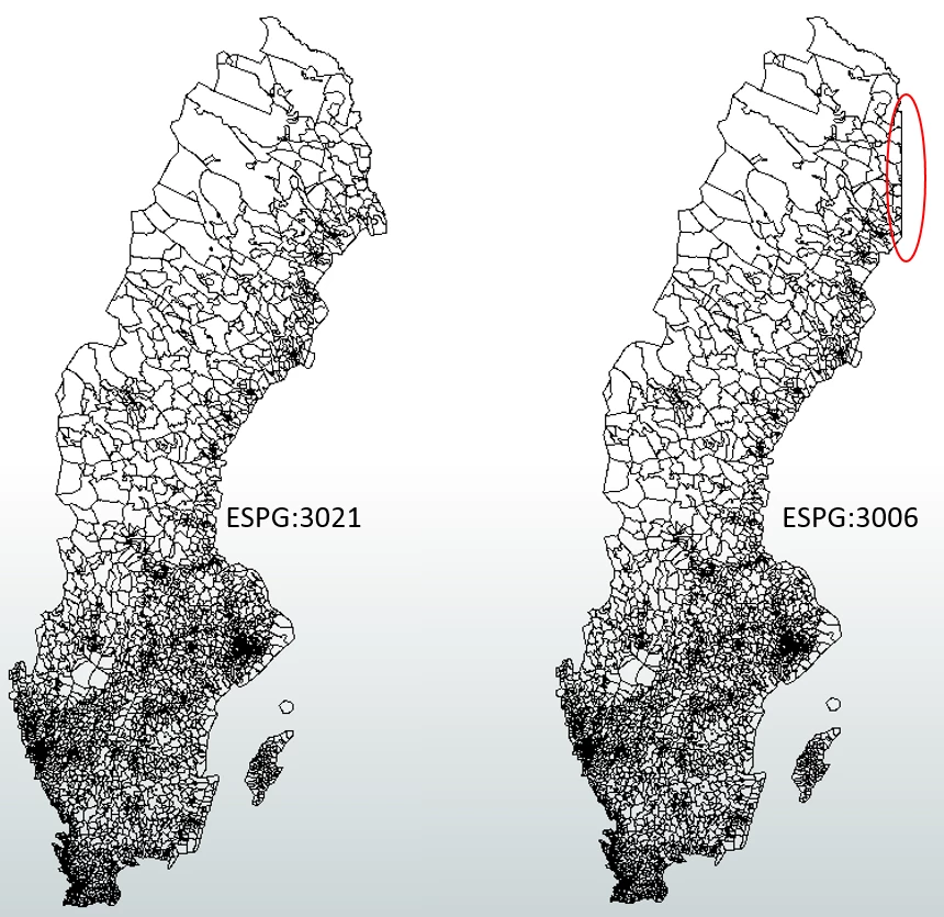
")
