Hello everyone,
I'd like to outline the main concept of my work. I am working with two point clouds, one representing a road and the other obstacles. Initially, my goal is to determine the minimum distance between these two point clouds. To achieve this, I rasterize both point clouds and calculate the difference (A-B). I then identify the point with the minimum height (Xh, Yh) and its corresponding difference height (H).
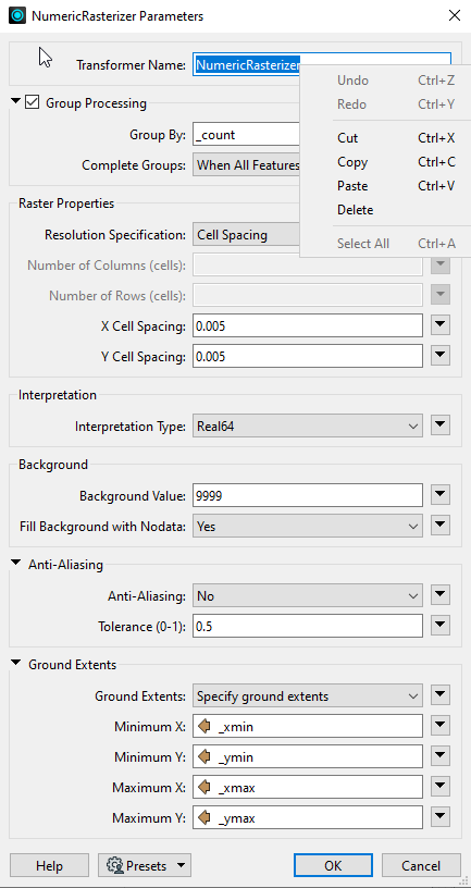
After that, I rotate the two point clouds, merge them, and rasterize the combined set. The result is like represented in the first picture. However, I aim to enhance this representation by adding an arrow to signify the distance H, as shown in the second picture.
My idea (maybe not the best) is identifying the neighboring pair in the two point clouds close to the extracted point with the minimum height (Xh, Yh). I intend to draw a line connecting this pair, label it with H, and either rasterize it with the point cloud or incorporate it in the end somehow. For now i am just trying to figure out how to find this neighbor pairs.
Additionally, I would like to include a scale in the representation, as depicted in the third picture. I am uncertain about the feasibility of this and would appreciate any insights.
I am aware that there may be room for optimization in my current approach. If anyone has any suggestions or remarks, I would be grateful to receive them.
Thank you.

")