Is it possible to read the coordinate system from the input features and use it as source for the ESRI reprojector? Background is, that I don't want to define a transformer for each UTM zone as the destination coordinate system and the geographic transformation will be identical for all, so it would make sense to read the source coordinate system from the input files. Unfortunately I have no idea how to realize this. I've tried a User parameter, but I have no idea how to dynamically populate this value with the source coordinate system.
Solved
ESRI Reprojector - Read Source Coordinate Sytem from feature
Best answer by mark2atsafe
Yes, unfortunately there is no current way to use an attribute for the source or destination coordinate system in an EsriReprojector. I see we do have that as a planned future update. The reference number is FMEENGINE-9178. If you have any queries then do contact our support team and quote that reference number.
The other thing you might do is file this as an "idea" on this site. Then other users can upvote the idea if it is important to them, and we are more likely to give this a higher priority.
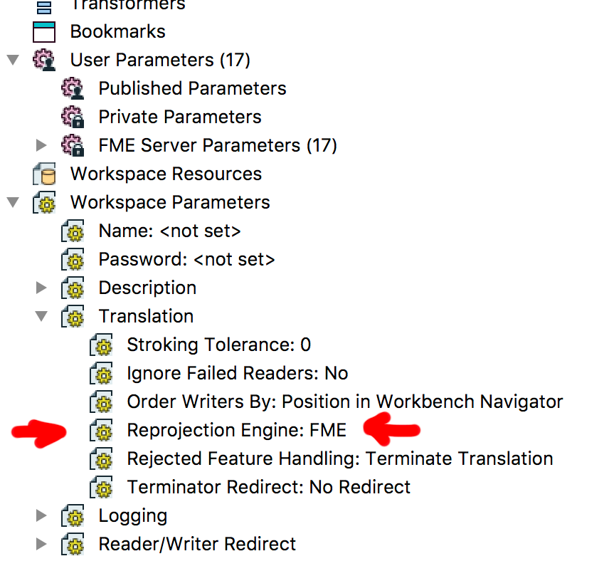
In the meantime, I think Hans' idea is good. Try the Reprojector with the Esri engine. It's slightly different, because you don't get the same selection interface, but I think it's the best thing to try for now.
This post is closed to further activity.
It may be an old question, an answered question, an implemented idea, or a notification-only post.
Please check post dates before relying on any information in a question or answer.
For follow-up or related questions, please post a new question or idea.
If there is a genuine update to be made, please contact us and request that the post is reopened.


 The options that are offered there are the installed projection libraries, so it's FME, ESRI or BMG off the top of my head.

