Question

DWG to gdb projection problem

  • June 15, 2020
  • 1 reply
  • 33 views

ahalwi_esrimsia

I'm totally new to FME and straight away having problems with conversion from DWG. The conversion is successful but when i zoomed in to the layer (in Arcgis Pro) the parcel data appears to be located somewhere in the middle of the ocean. The parcel data is in GDM2000 Malaysia RSO projection. I wanted it to be displayed in UTM WGS84 48N along with other GIS layers. I really couldn't find out what I am doing wrong here. Thanks.
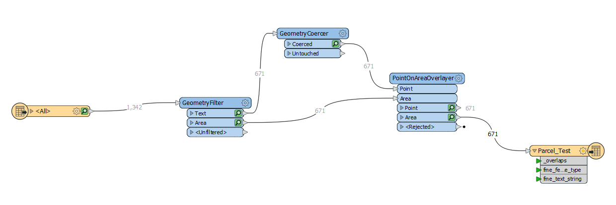
https://drive.google.com/file/d/13GyjeDa9lyH3T4sOUnTKcs4j4ayADFkr/view?usp=sharing

This post is closed to further activity.
It may be an old question, an answered question, an implemented idea, or a notification-only post.
Please check post dates before relying on any information in a question or answer.
For follow-up or related questions, please post a new question or idea.
If there is a genuine update to be made, please contact us and request that the post is reopened.

1 reply

  • 59 replies
  • June 16, 2020

Hi @ahalwi_esrimsia, what did you set for the coordinate system on your reader? You may have to specify the GDM2000 Malaysia RSO projection for your source data, and also UTM 48N for your writer. Does this still give you an error?