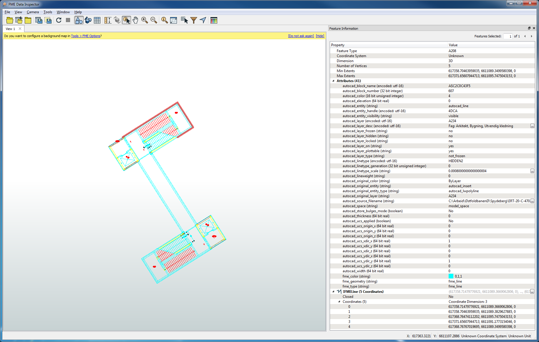
I am running into something while trying to read a DWG file and handle the data based on layers. I set up the reader with 'Group Entities By Layer Name' and most layers are being sent to my writer as Feature Types, with one exception: There is one Feature Type that seems to contain data from several layers, as in this example:

The Feature Type is A208, while the autocad_layer is A234. Both A208 and A234 are available as Feature Types from the reader, but the A234 reader contains no data. The data on layer A234 (and other layers) can be exported from A208.
I found a workaround on this by exposing autocad_layer in A208 and take it from there, but in a different setting I may have missed it. Is there something special with these layers that make them come "grouped" up like this, and how can I determine if my DWG files have things like this? I'm a GIS person, not a CAD person, and Autocad is a bit alien to me...


