Hi!
I have a task for an aviation project where there are multiple 3D surfaces of runway approaches (from DWG). I need to take the multiple surfaces and create a single composite "blanket" object taking all of the lowest elevation information. This is because the client would like to know how high an obstruction can be before it intersects with any of the approach boundaries.
I've seen SurfaceDissolver & SurfaceFootprintReplacer, but I'm not the best at FME so I'm unsure of a good workflow.
Any help would be appreciated! Thank you.


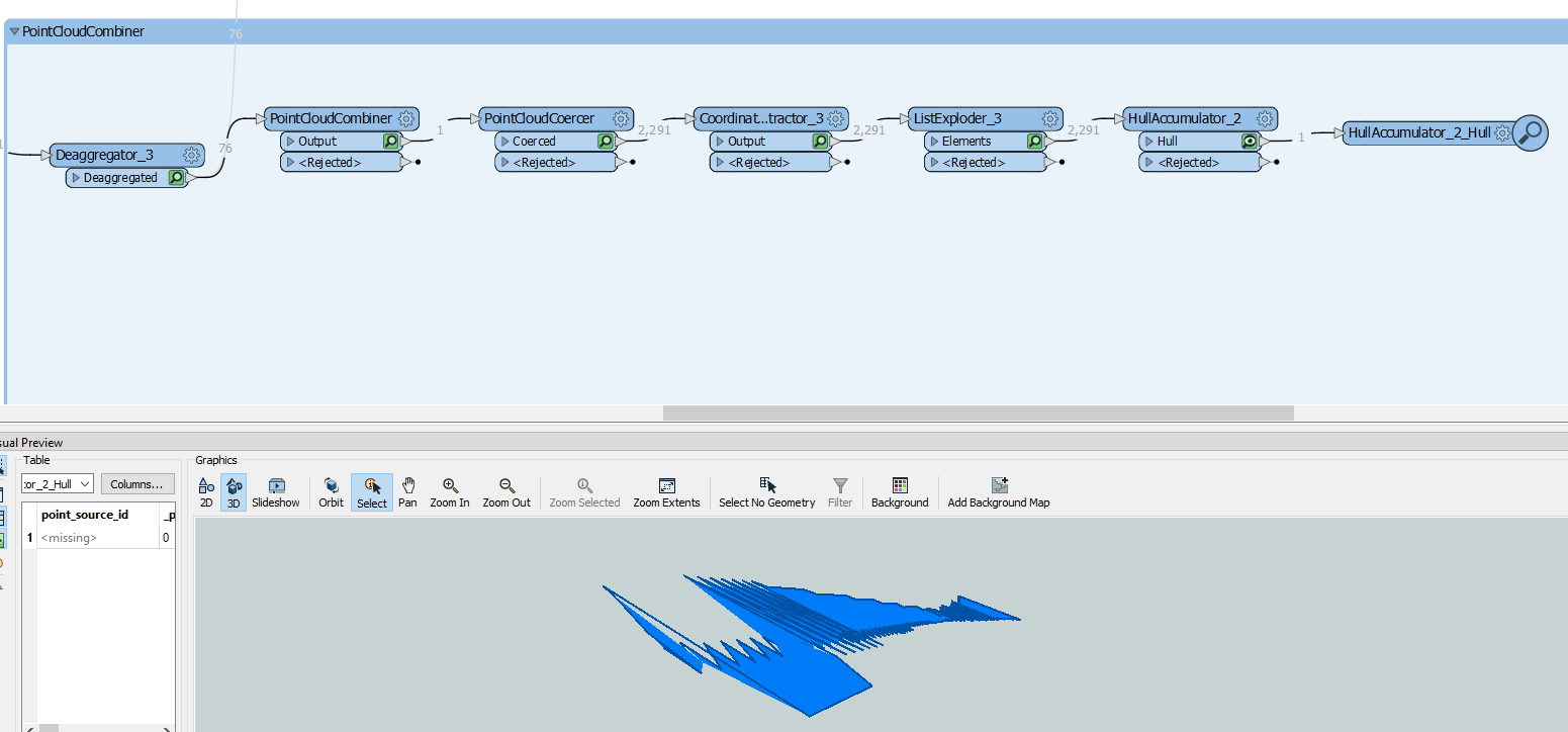
 Thank you for your response @jdh! I tried both the Rasterizing method and the SurfaceOnSurfaceOverlayer methods. The SurfaceOnSurfaceOverlayer helped brainstorm a few more ideas, which went with using the following workflow. However, I'm having trouble turning the HullAccumulator output inside a solid, and there's a bunch of jagged lines. I'm not sure how to fix that. I also tried SolidBuilder to no avail.

