

Hi guys,
I have a small question which could probably be solved easily.
I have 20 datasets. Each of these datasets needs to be given a new field called 'Trajectnaam'. This was done using 20 attribute creators.. this could be done easier I guess?
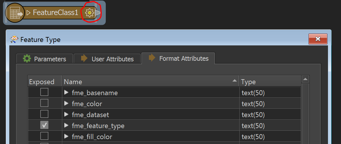
This field needs to get the name of the corresponding dataset as value for each dataset respectively. Is there an option to enter the name of each dataset as new attribute value?
Finally I want to merge the 20 datasets into 1 dataset with 20 lines.
Thanks for your help!