


I don't know if this is already answered somewhere already but couldn't find it.
This is in regards to my previous thread about aligning randomly distributed line geometry as per building footprints. Now, I could find GPS traces as point data to align my line geometry as per the points.
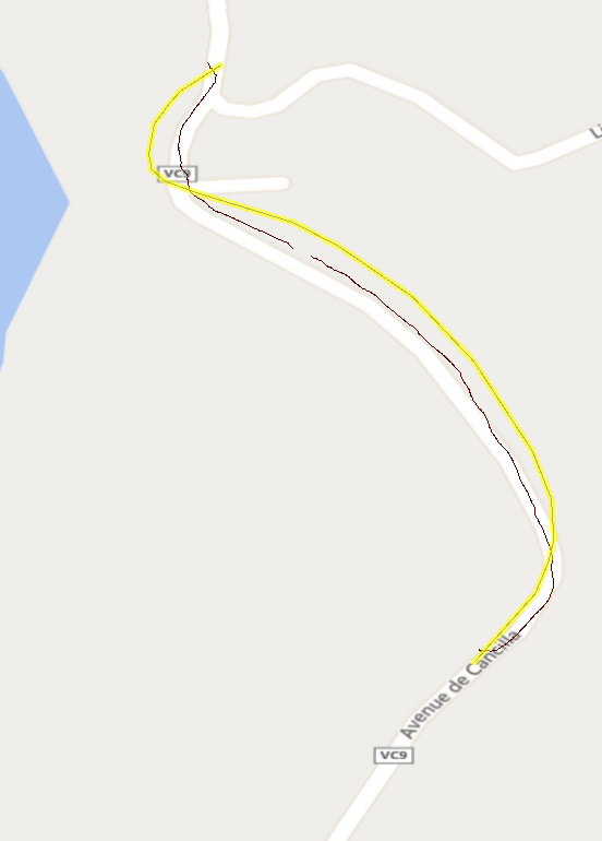
In the image below: The black line is the approximate required solution
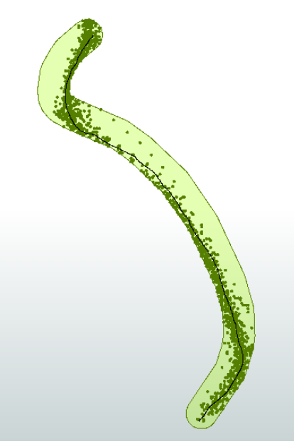
I tried using NeighbourFinder with 3m distance and then MeasureSetter for putting weights. Ideally, I wanted that points towards the center are weighted more than the outer ones. I have attached some sample data for the same.
Could someone help me out with any ideas?
Thanks.


")
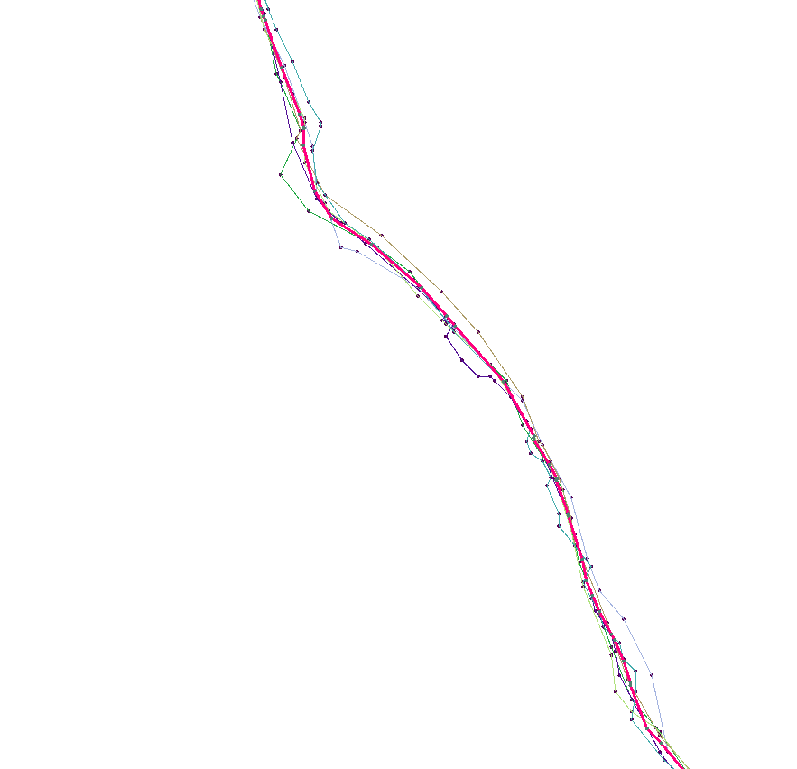 I found a simple R script that uses inverse distance weighting to find the best line from a group of lines. I adapted it to run in FME using an RCaller. (you need to install R and set the path in Options) average_tracks_with_R.fmwt