Question

Create 3m x3m grid over polygon


gcarmich
Participant
Forum|alt.badge.img+1

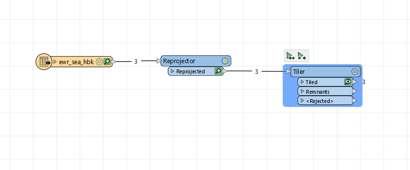
I have a polygon .kmz over a portion of New Jersey USA setup as LL-WGS84. I need to create a 3m x3m grid across the polygon. I am using a Reprojector to *XY-MT* and then a 2DGrid Accumulator to build the grid.

The resultant process only creates 1 grid. What am I doing wrong?

8 replies

nielsgerrits
VIP
Forum|alt.badge.img+54

Not sure what the issue is? If you expect a grid for each polygon, you should use Group By and select the unique Id of the polygon layer. If you have no Unique Id attribute you can generate this using a UUIDGenerator or a Counter.


Forum|alt.badge.img+2

@gcarmich​ It depends on what you want form the grid, but search FME HUB for grid and you'll see quite a few tools for generating grids optimized for different scenarios. But 2DGridAccumulator should work if you use group by as suggested by @nielsgerrits​ 


gcarmich
Participant
Forum|alt.badge.img+1
  • Author
  • Participant
  • March 3, 2023

The .kmz polygon is about the size of a US County. My expectation is that the 2DGridAccumulator would create a grid of 3meterx3meter square polygons across the entire .kmz polygon so that I could bin point data for analysis. I'm away from my PC but will try the GroupBy and FME Hub resources when I get back. Thank you


tomfriedl
Contributor
Forum|alt.badge.img+13
  • Contributor
  • March 4, 2023

For polygons you can use the Tiler. To test use better a greater grid. ​


gcarmich
Participant
Forum|alt.badge.img+1
  • Author
  • Participant
  • March 6, 2023

I changed the .kmz boundary to 3 smaller .shp boundaries because the workflow was indicating "no geometry" with the .kmz.

I ran the grid routing using Tiler. It produces grids when I specify "Number of Tiles" but not "Dimensions in Ground Units"

I want to create 3meter x 3 meter grids overlaying each polygon. I think I have ground units specified correctly so I'm not sure why the 3mx3m grid won't generate.

I've attached the files that I am using in a .zip to see if anyone has thoughts on the issue.


image


tomfriedl
Contributor
Forum|alt.badge.img+13
  • Contributor
  • March 6, 2023

you have a very small expansion:

min -74.0336702568992, 40.73238691114595

max -74.02460372691843, 40.73675877954369

Your tiler params are 3 ground units. It's more than the expansion.


gcarmich
Participant
Forum|alt.badge.img+1
  • Author
  • Participant
  • March 6, 2023

Maybe I don't understand Ground Units. I though my workflow changed the Ground Units to "meters" which would be significantly less than the expansion - which I measure as 905m diagonal.


tomfriedl
Contributor
Forum|alt.badge.img+13
  • Contributor
  • March 7, 2023

Measure in the DataInspector. Use as tiler param 0.001 and you sea a result.


Cookie policy

We use cookies to enhance and personalize your experience. If you accept you agree to our full cookie policy. Learn more about our cookies.

 
Cookie settings