Solved

Coordinate reference system is read wrongly for WFS

  • January 8, 2020
  • 2 replies
  • 110 views

Hi there,


We have a a problem reading a WFS with FME Workbench 2019.0. (ArcGIS Pro).


We're using two datasets, If we check the data in ArcGIS Pro both datasets have overlap and the same coordinate system:


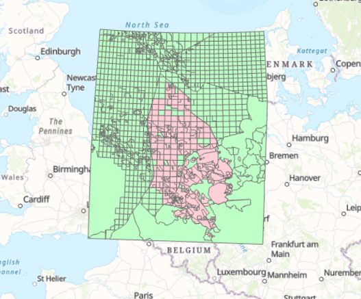
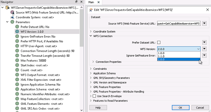
When we read the same data in FME using the default coordinate reference system, we see the following:


According to the translation log the following happened:

FME Configuration: Using ESRI Reprojection Engine


CS-MAP Reprojector: Transformation will be automatically selected for 'LL84' -> 'EPSG:23031', and is not guaranteed to remain the same in future releases of FME


Reprojector: Using transformation `ERP50-W_to_WGS84,Inverse(Multiple Regression)' when reprojecting from LL84 to EPSG:23031


We tried to use the Reprojector and the EsriReprojector to change the coordinate reference system without success. Also changing the coordinate reference system in the reader itself was not successful.


Help or advice would be highly appreciated.


Best answer by c_net4s

@rumle, Thank you for your advice. We finally managed to solve the issue, turns out the WFS has different versions and the one we were using was projecting the data in the wrong coordinate system.


This post is closed to further activity.
It may be an old question, an answered question, an implemented idea, or a notification-only post.
Please check post dates before relying on any information in a question or answer.
For follow-up or related questions, please post a new question or idea.
If there is a genuine update to be made, please contact us and request that the post is reopened.

2 replies

rumle
Forum|alt.badge.img
  • 18 replies
  • January 8, 2020

Use the CoordinateSystemSetter after your readers, to tell FME what the correct Coordinatesystem is. The CoordinateSystemSetter does not reproject the data. It just tells the data what coordinate system they are in, so they show correct.


  • Author
  • 1 reply
  • Best Answer
  • January 13, 2020

@rumle, Thank you for your advice. We finally managed to solve the issue, turns out the WFS has different versions and the one we were using was projecting the data in the wrong coordinate system.