Question

Converting a DWG file to GIS feature classes and export from the polyline feature class new feature classes based on specific layers name

  • July 1, 2018
  • 2 replies
  • 52 views

Forum|alt.badge.img

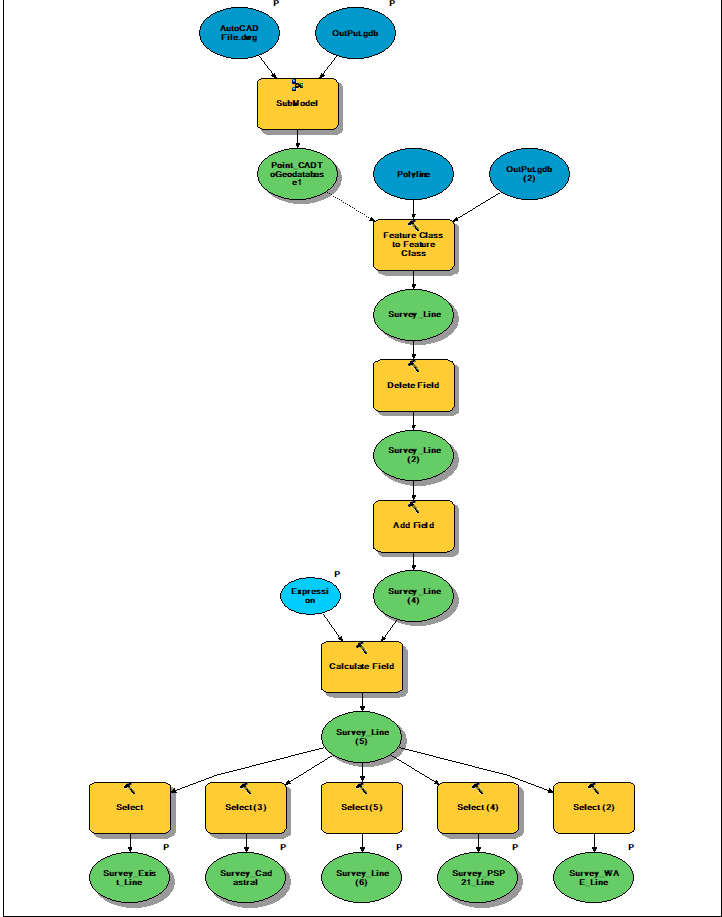
I couldn’t figure out the best practice to Convert a file from AutoCAD to GIS and then derive a new feature classes based on a specific layer fields

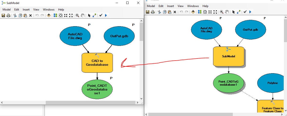
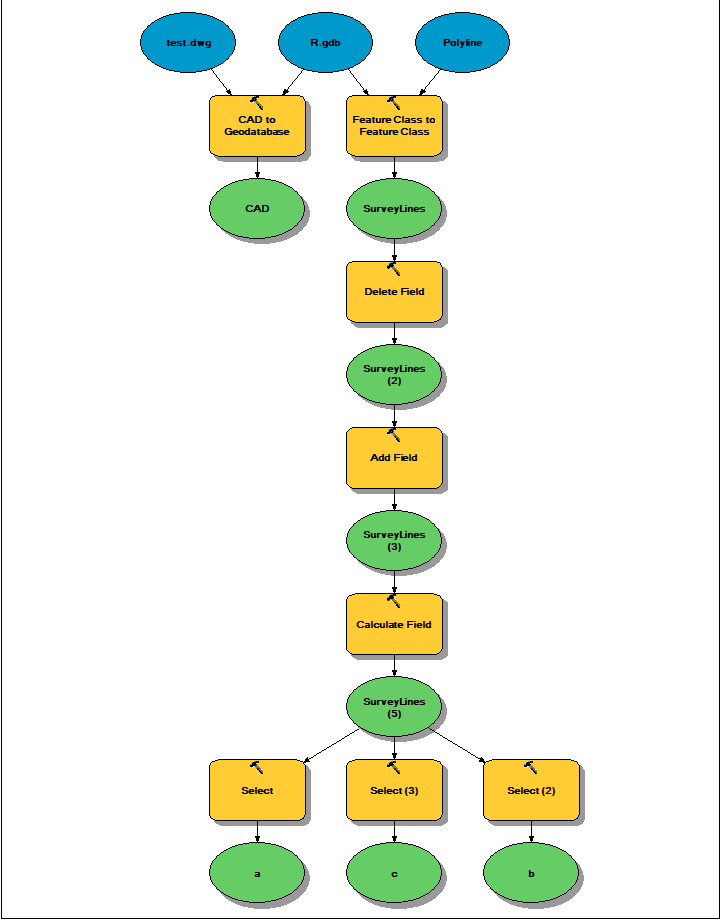
In the ArcGIS, for example this sort of work is done as shown in the following model

How could I preform the same work by using FME work bench?

Thanks

Rawan

This post is closed to further activity.
It may be an old question, an answered question, an implemented idea, or a notification-only post.
Please check post dates before relying on any information in a question or answer.
For follow-up or related questions, please post a new question or idea.
If there is a genuine update to be made, please contact us and request that the post is reopened.

2 replies

lars_de_vries
Forum|alt.badge.img+10

Looking at the modelBuilder process, I would suggest to start with a Filegdb reader and select only the feature types you want to write.

You can add a DWG writer and output what you read to a DWG-file.

For adding and deleting fields, as well as setting attribute values I would recommend the AttributeManager.

Depending on the filter you apply in the select step, you could either use a AttributeFilter, a GeomtryFilter and/or a TestFilter.

For writing I think you use a Filegdb again, so you'll need to add that one as a Writer as well.

I hope this helps you to get the first steps done.


Forum|alt.badge.img
  • Author
  • 44 replies
  • July 2, 2018

Dear lars_de_vries,

Thank you for your answer. I need to transform file from AutoCAD to feature class in ArcMap, so I started by adding AutoCAD reader and I need all the layers in AutoCAD file to be transformed. I’ve updated the model as the follow screenshot. May be now it will explain better what I need.

Cheers,

Rawan