Hello Dears,

Im new to FME.


I would like to convert SHP to TopoJSON. Is there any special transformers to use for this process or any customization required.

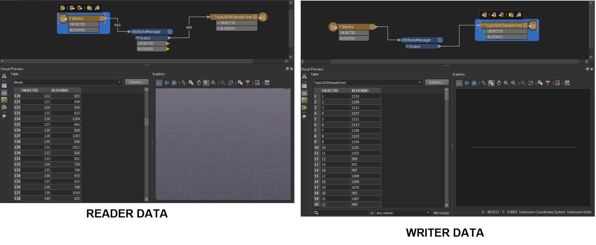
I tried with simple attribute manager but the converted data is just a line.


could you please help anyone


SC attached
 

image 

@chithramc​ Welcome to FME. Do you need to reproject the data? By default GeoJSON is in geographic lat/long. So if your source SHAPE data is in a different coordinate projection you'll have to reproject. Just add LL-WGS84 to the TopoJSON writer in the workbench Navigator.

If that is not the issue, then perhaps attach a small sample of your data so someone can investigate a bit further.


@chithramc​ I believe that GeoJSON (and TopoJSON) only support geographic coordinate systems - i.e. LL-WGS84. Try switching the target coordinate system to LL-WGS84 in your workspace rather than AinElAbd.BahrainGrid


@chithramc​ I believe that GeoJSON (and TopoJSON) only support geographic coordinate systems - i.e. LL-WGS84. Try switching the target coordinate system to LL-WGS84 in your workspace rather than AinElAbd.BahrainGrid

Thank you Mr Mark,


Your answer was very accurate and help to solve my issue. ✌️


regards


Reply