Hi guys,
A newbie here! I have the following question/problem:
I have to geometries sources, I have a geojson file with a specific geometry (this is an house with 4 corners, 5 coordinates), the second dataset is a city dataset that contains land parcels. The challenge is now to compare the two sources and become as outcome the affected land parcels, with affected land parcels I mean those parcels where the house is placed/located.
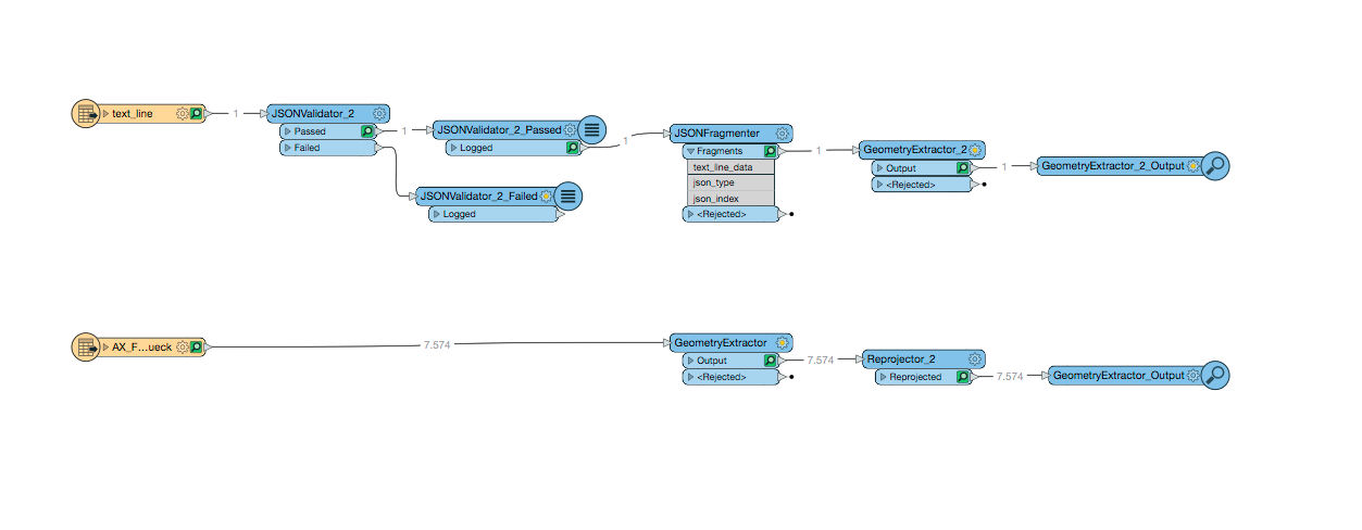
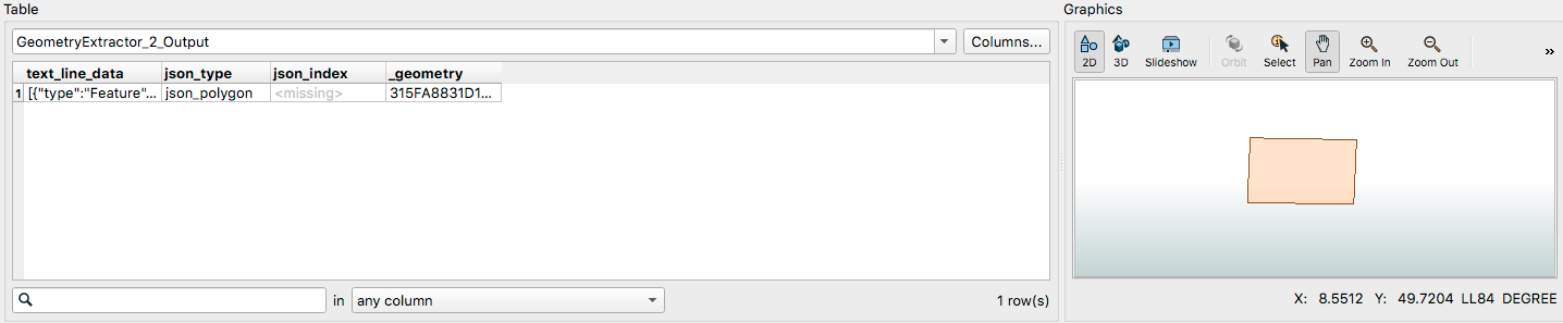
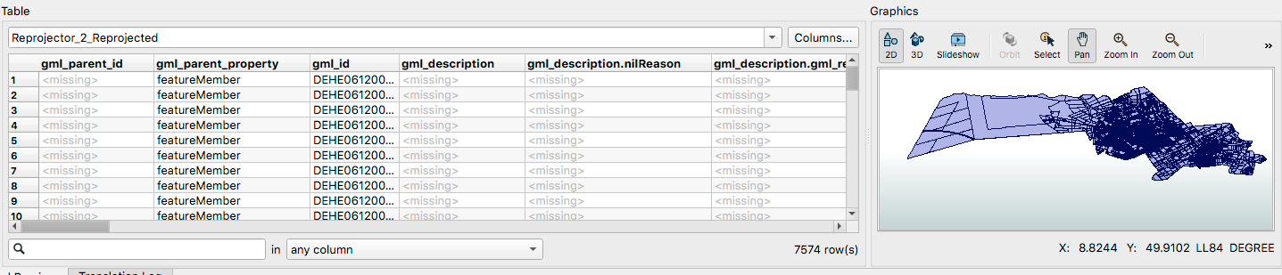
In the first picture you can see what i did so far, i parsed the geojson file and I extracted a geometry, in the second source i extracted the land parcels geometries and adapted the coordinate system (LL84). In the second and third picture you can see both the graphics, so it works very well. Now i should "only" compare the geometries and get the affected land parcels.
Thank you in advance for your help!