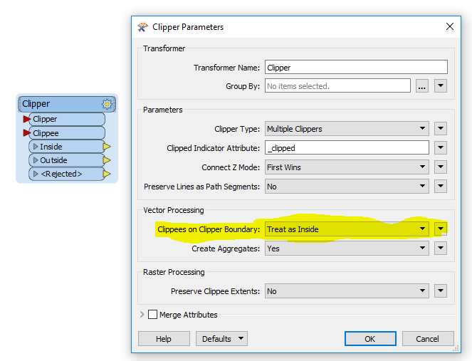
Hi, is there any proper way to avoid clipper feature's polygon boundary lines when transforming GIS to CAD.
Clipping features leaving it's boundaries top-bottom and left-right borders.
Thanks.


Hi, is there any proper way to avoid clipper feature's polygon boundary lines when transforming GIS to CAD.
Clipping features leaving it's boundaries top-bottom and left-right borders.
Thanks.