

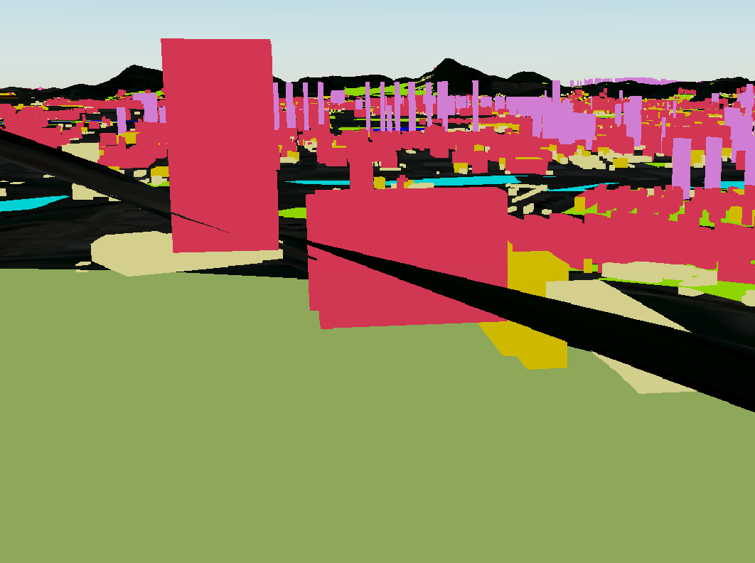
Hi all, I have building footprints, DEM and DOM data, I have finished 3D modelling for DEM with overlaying DOM, and 3D buildings, while the bottom part of some buildings, especially those located along the foot of the mountains, are under the terrain. I have tried many ways like 3Dforce with values minZ, or chopper buildings to points and acquire the points cooridinate Z value, and also clamp function, while all failed. Anyone can help? thanks a lot.

Question
Building follow terrain (TIN +DOM)


Login to the community
No account yet? Create an account
An FME Account is required to contribute
LoginEnter your E-mail address. We'll send you an e-mail with instructions to reset your password.