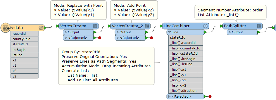
I have a county road network from which I want to create a state route road network. I feel like this should be easy and that I am missing something, so I'm posting it here for advice. Say I have the following data:
recordidcountyRtIdstateRtIdlrsBeginlrsEndx1y1x2y2*order*A1ASR1SR10100110A2ASR1SR11211221A3ASR1SR12333443A4ASR1SR13455665B1BSR1SR10222332B2BSR1SR12444554B3BSR1SR14666776B4
BSR1SR16877887The table above, I want to calculate the order column. The x1,y1, x2,y2 values represent the begin and end coordinates of the linestrings to which each record is associated. The stateRtId is a known state identifier, and the countyRtId is our identifier for the county.
In this example, ASR1 travels out of the county and then back in, demonstrating that the collection of linestrings by county is not always continuous. However, for purposes of this example, once can assume that all routes within the state route network are continuous.
Essentially, since I can already group all the linestrings together by a networkId--the stateRtId--I just need to know what is the simplest way to assemble this into the correct order from a geometry perspective.
Thanks.


