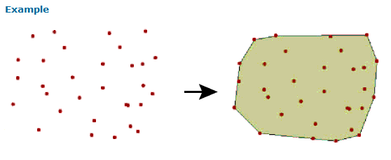
I have a few tables that contain point and line features. I can group them but I want to create a boundary polygon for a database so when I need to pull them up I can use the boundary to grab all files. My thoughts were to group the line and points as needed and then run the groups through a MinimumSpanningCircleReplacer. From what I read am I correct in assuming that this tool will do just that and leave me with a polygon at the end that is a outer boundary of the grouped line and point features?

Question
Boundary around points and lines segments
This post is closed to further activity.
It may be an old question, an answered question, an implemented idea, or a notification-only post.
Please check post dates before relying on any information in a question or answer.
For follow-up or related questions, please post a new question or idea.
If there is a genuine update to be made, please contact us and request that the post is reopened.