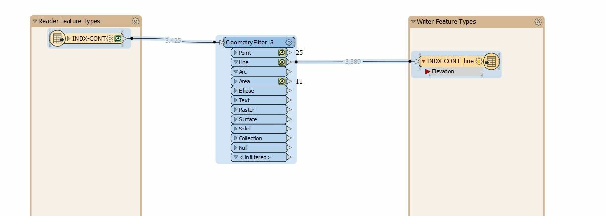
I have a dwg circa 1998 that contains among other things contours and spot elevations. All of these features exis in 3d within the dwg I have confirmed this using AutoCAD viewer as well as the FME inspector. The only place I see the elevation value is in the coordinates section in FME Inspector. I would like to covert these features to a shapefile and capture the elevation as an attribute but don't know how to expose this elevation value.


You can use the CoordinateExtractor to grab the coordinates of the points and store them in attributes


You can use the CoordinateExtractor to grab the coordinates of the points and store them in attributes

Where in my workflow would it go also since it is a line I believe it will create a list of Z values (all identical) how do I then get that into my Elev Field in my Shape?


Here is subset of my workflow.


Okay i went with the ElevationExtractor as it did exactly what I needed. It also was able to show me that not all of the layers were created as 3D entities