Hi!

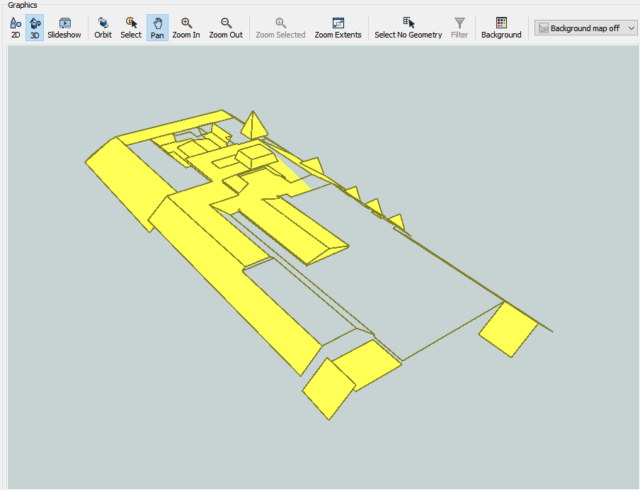
I see that AreaBuilder transformer does not work with 3D lines and cannot generate 3D area. But what is the solution here or what alternative exists in FME?

I have a data set with roof lines that describe roof shape. In the last 3 months I have tried many possible combinations of transformers and tested many parameters but never got the desired result.

Anyone can help me with this?
Probably not what your after, however, you could try building the areas in 2D then using a SurfaceDraper to drape the areas over the lines.


There will no doubt be some pretty awful artefacts though. If you had an ID which was consistent on the surfaces then you could use this ID to group by in the 2D Area builder and also the Surface Draper. That might make it work a bit better but its a challenge for sure.


If you're looking to create building models with remote sensed data for a city, have you looked at Building Reconstruction? https://www.virtualcitysystems.de/en/products/buildingreconstruction


I don't mean to peddle out own tools on this forum, however, it is pretty widely used and does a pretty good job. Also perhaps not what your looking for.


The AreaBuilder does work in 3D however your input data must be topologically correct and ideally each face should be planar.


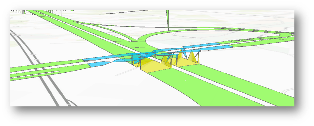
Hello, I am facing a similar issue. I am trying to generate areas out of road border lines. As you know, roads sometimes pass over other roads on bridges. I am using an AreaBuilder but the output is a very poor quality :

imageThe overlaping polygons seem to "stick" each other from one the floor to the bridge level.

FME 2018.1

Did you try the Consider Node Elevation parameter. I think by default it's set to 'No'. Try setting it to yes to see if it helps


Did you try the Consider Node Elevation parameter. I think by default it's set to 'No'. Try setting it to yes to see if it helps

Hello, Thanks for your answer.

Yes I did try setting "consider node elevation" but most of the input lines output as "Remnants". It seems they are not well connected to each other.

Actually, I tried to close the border lines of my road network with crossing segments that bind vertices of the lines. I used VertexCreator to do so (x,y,z)


Did you try the Consider Node Elevation parameter. I think by default it's set to 'No'. Try setting it to yes to see if it helps

Ooof, man I hate it. You cooould take a look at the Snapper to try and snap end points together...but that probably wont work either 😒


Reply