Hello everybody
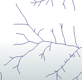
I am currently working with a watercourse network dataset (lines), which is divided into a new segment each time a new watercourse branch branches off or is integrated. Unfortunately, the dataset contains very obvious "errors" as the width of the watercourse between two consecutive segments is much too large and the orthophoto also clearly shows that there must be an error here.
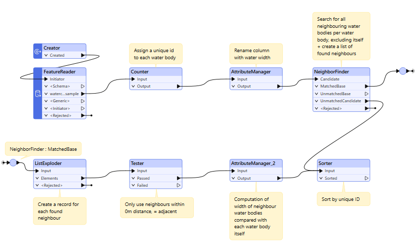
I am not that experienced in FME yet and so far I have simply determined the points between the segments and was able to assign the different values of the touching watercourse arms to them. My main task is actually to provide the person responsible with an extensive data set that quickly shows where the difference between two watercourse widths is greater than XX metres (parameterisable). I have currently arrived at the status in the screenshot below, where the intermediate points with the water widths are listed for each line. Ideally, however, I would like to have only one line per point with the water widths inserted in new columns.Then I would have to find a procedure to be able to show points which have a greater difference in water widths than the XX metres.
Does anyone have any ideas as to how I can continue here or how I could proceed better in general?
Thank you in advance for your expertise
Best regards
Dani


