
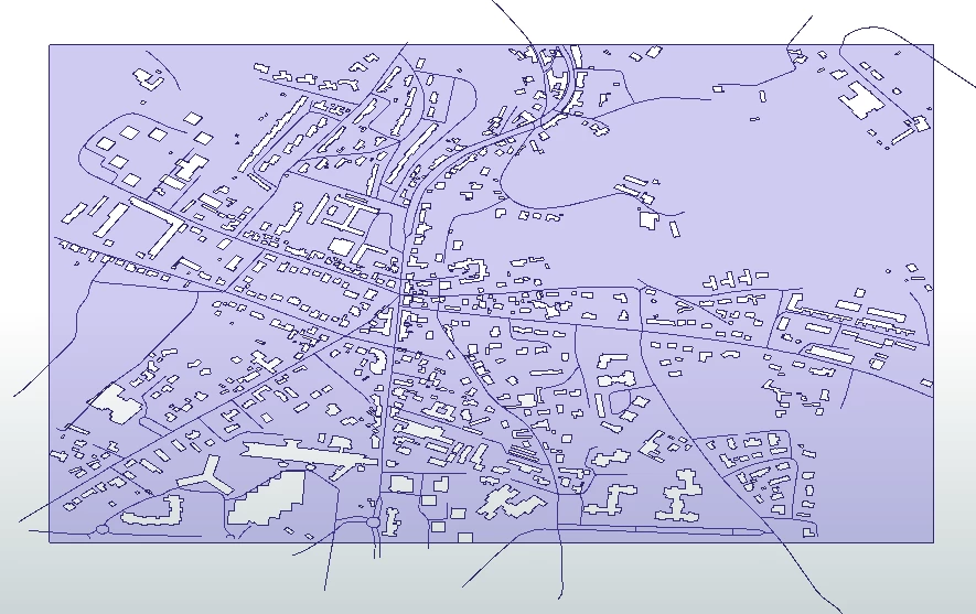
Hello! I am going through a very weird situation where a quite good amount of roads(~10M) are shifted randomly upto10m in a random direction that impacts junctions, 2-way traffic roads, dead-end roads, roundabouts, etc,

Here is what I have been trying to do:

- Finding out the building footprints (BFs) that are towards the road (since they make a uniform line)

- Shift the roads, roundabouts at the center as per the BFs. In cases where the buffer(miter) of 5m touches the BFs, only those roads are to be updated (since BFs might not exist).

Cannot think much about other generic solutions. Any ideas?

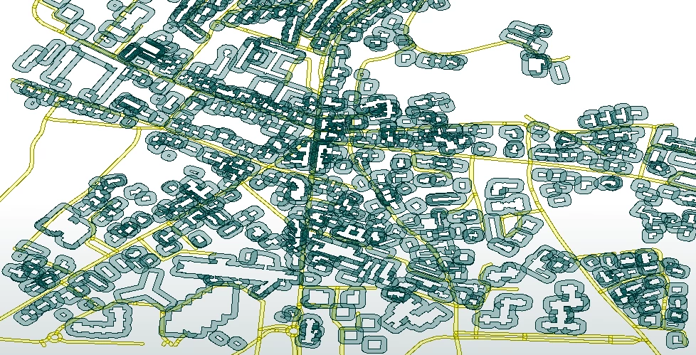
- pink polygons are the BFs, dark pinked polygons inside are the donuts filled.

- Redpolylines are the road geometry.

- Basemap is added at the back.

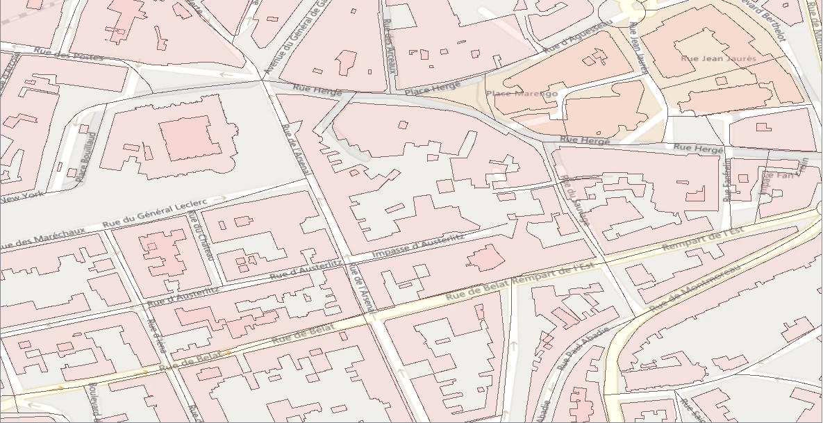
Also attached the BFs and road geometry data.

I don't know if there can be a generic solution for this, but scenarios can be taken into consideration. That's what I am trying to analyze now!


Thanks!

Gosh that is some not nice data! I would say throw it away and get some new data...Is there no better dataset?


It might just be faster to redraw the whole thing. What about Open Street Map? have you looked there for a better dataset?


Gosh that is some not nice data! I would say throw it away and get some new data...Is there no better dataset?


It might just be faster to redraw the whole thing. What about Open Street Map? have you looked there for a better dataset?


Hi @virtualcitymatt I know that the data is really messy, but building a whole new dataset would cost really a lot. I understand that 100% success is really theoretical, but I guess the 50% success rate is also good. I have taken a look at the OSM, but we cannot take that ideally!


Thinking out loud here:

If you accumulate a bounding box of your BF's, then clip the BF's out of that you'll end up with (rather complex...) polygons indicating the roads, squares, courtyards and so on. If you generate centerlines for that and then use an AnchoredSnapper to snap your original road lines to those it might come up with some useful results.

Hi, @redgeographics Thanks for your suggestion. I was actually thinking of like that but my vision was not this clear. Do you suggest creating a centerline for the polygons generated?

Actually, I got confused a bit in the first line. So, I created a BB of the BFs and clipped the BB with BFs. Well, that how the bounding box looks now. I have overlayed road geometry on the clipped BFs.

Thanks!

No, you got it right, that's what I had in mind. But the idea works better in inner cities with every block more or less built up completely. In areas with isolated buildings, like you're showing, it's not going to do well. Also, I ran it on your example file and it took a long time (actually had to cancel it as I had to leave for an appointment). So at the moment I'd say it might work depending on what the area looks like. Not very useful I'm afraid.

Quite frankly, I'm not coming up with anything better yet for the isolated buildings scenario.

@redgeographics Really appreciate for your time.


I understand that cleaning all the geometries with just one algorithm is hardly even possible, but even if we are able to correct 50% of the total ones, that would be great. But, currently, all we deal with is BFs and nothing else.

In another scenario, this is what I am trying to do- Create a 10m buffer of BFs and 5m buffer for roads. When multiple BFs overlap with the road, the road is shifted to the other side. But, how much shift? That is where I am stuck! Below is the image after the buffer.

Thanks!