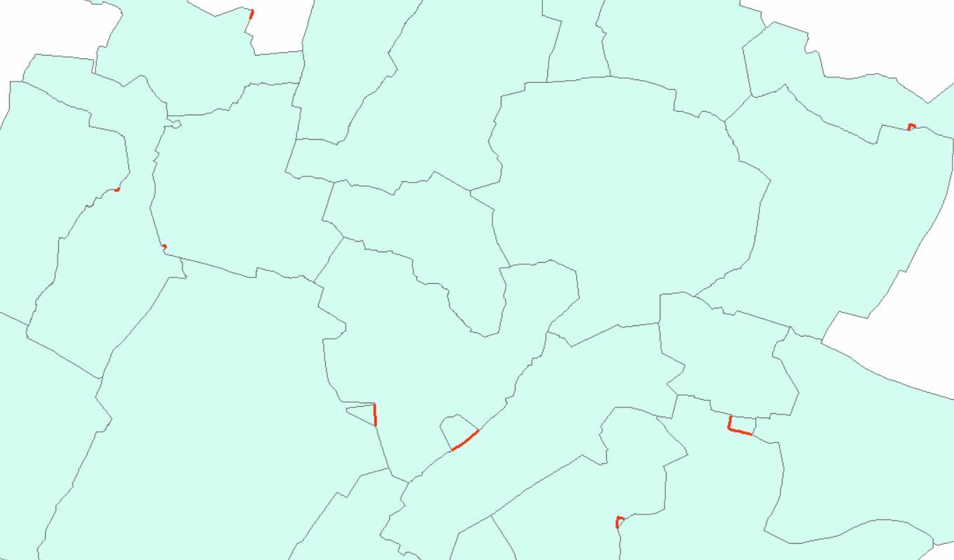
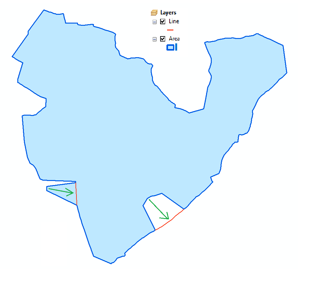
Requirement Polygon (Blue) need to align to the Line (Red) . Tried “AnchoredSnapper" could not work can any one help me out how can this be accomplish?
This post is closed to further activity.
It may be an old question, an answered question, an implemented idea, or a notification-only post.
Please check post dates before relying on any information in a question or answer.
For follow-up or related questions, please post a new question or idea.
If there is a genuine update to be made, please contact us and request that the post is reopened.
AnchoredSnapper with a higher tolerance, it should at least be that distance that you see there, preferably a bit more. But that still leaves you with the problem that if there's a case where the area differs just a little bit more than your tolerance it won't snap.
Another option, thinking out loud here:
Intersector
AreaBuilder & Dissolver
Clip with the original areas
Dissolve any outside results that touch the original area (SpatialFilter) with the original area.
@redgeographic Thanks for your quick feedback. actually tried that way. we don't have only one polygon we have multiples adjacent as well so would we able to just clip and dissolve any another solution ?
I think in that case only the AnchoredSnapper with a higher tolerance, possibly add a Densifier on the lines before snapping, although setting it to segment snapping should make that unnecessary.
Unsure without real data to test it on but how about sending both polygons and lines to a topology calculator, finding any lines with the same start and end point (may need some extra work to account for direction), only keep the line with the shortest length and then rebuild the polygon using the shorter line