Hello,
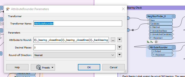
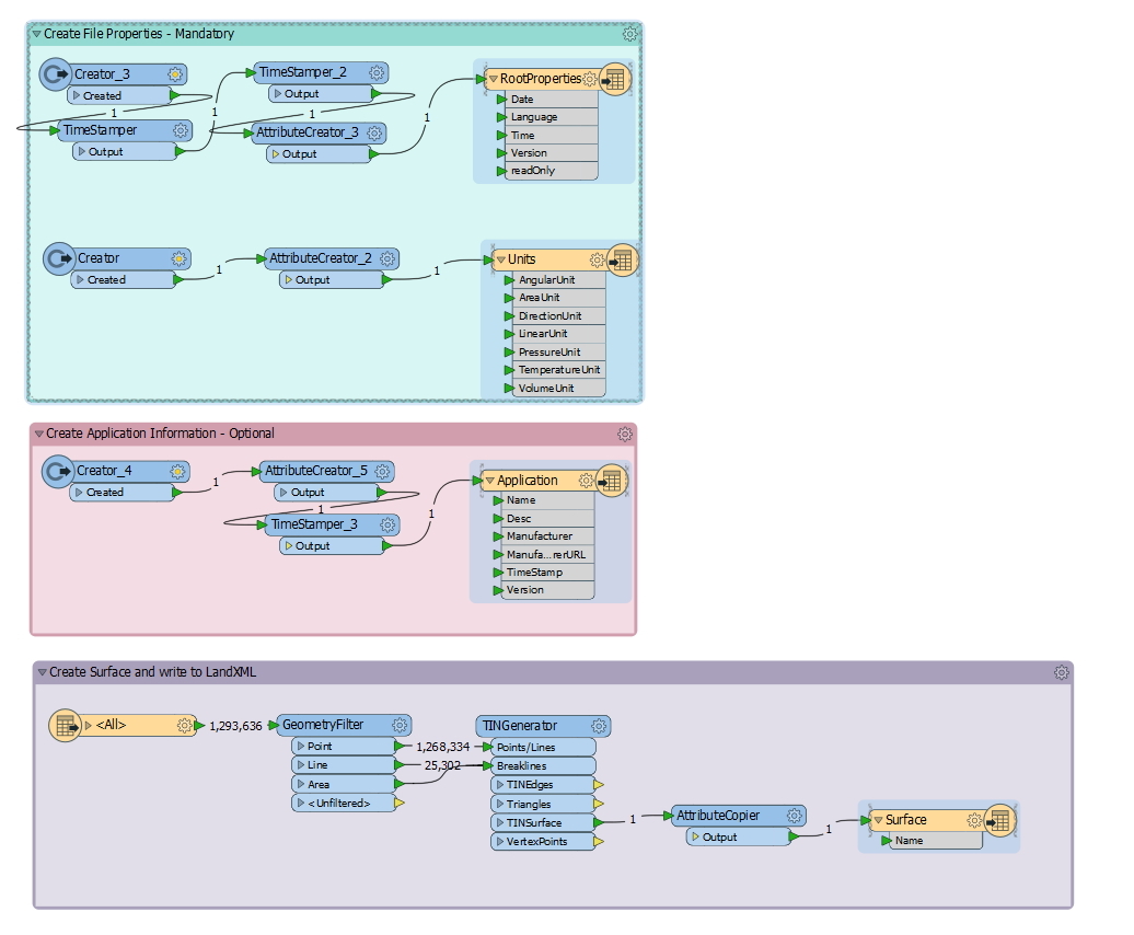
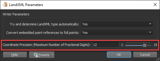
I have a workspace for converting DGN vector data into a LandXML surface file built by a fine FME support tech. It works great, but I'm now noticing that the coordinates in the output file have 10 decimal places. We really only need 3 places, which would shrink our files dramatically. I tried adding the coordinate rounder in a few places, but the final coordinates are not changing. Not sure where to look to fix it. I'm not able to add attachments or I would attach my workspace (nothing happens when I click on "attachments). Thanks!!
 Hope that helps!