
Hello people,
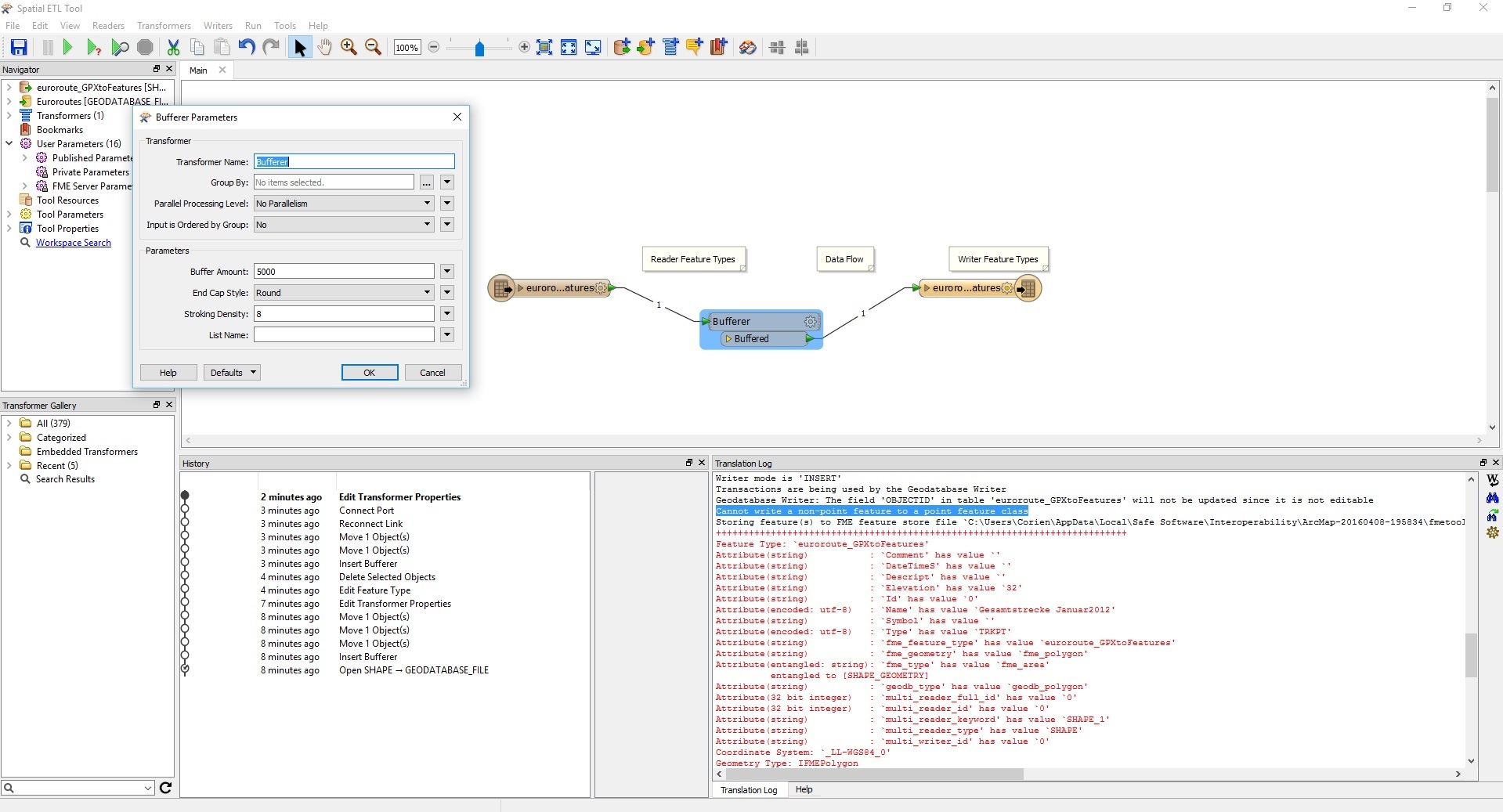
I am new to GIS and FME. For my study we are using ArcMap. Ik have an shapefile and now I need to create a 5000 meter buffer around the shapefile. Therefore I must use the Bufferertool from FME. The result wil be written to a file geodatabase.
Anytime I run the spatial ETL tool from FME I get an error and see no buffer of 5000m around the points of the shapefile.
I have ad some screenshot. Does anybody know what I am doing wrong in my setup?
Thanks in advance.
Tijs


