I have LiDAR data with elevation data attached to it. I want to reduce the LiDAR data to the black dots (drainage pits) and deduce z values for all the pits. Is there a way to do it?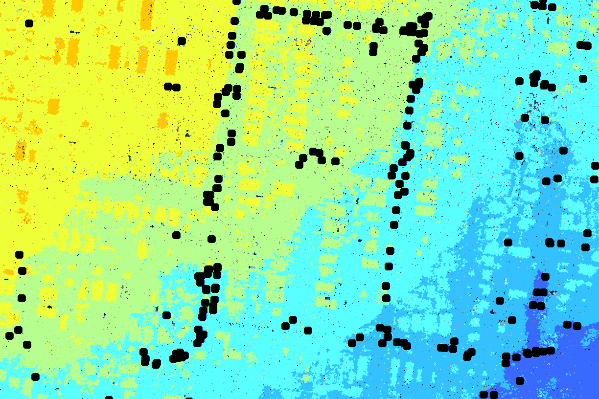

Solved
Clip or Intersect LAS data to a point vector layer
Best answer by gio
@danishukani
You should be able to use clipper (if manhole is point make buffer or create 2DARc360) or spatialfilter followed by a PointCloudConsumer.
Or query coordinates (after PointCloudPropertyExtractor) by setting min/max x and y based on manhole location.
Then some statistics to get height.


Reply
Helpful Members This Week


Enter your E-mail address. We'll send you an e-mail with instructions to reset your password.