am learning FME Workbench/ Data Inspector etc. But exactly I have a question, which I could use some help.
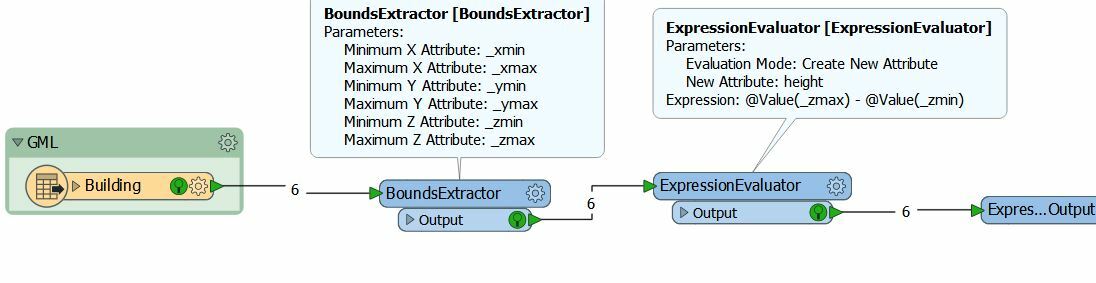
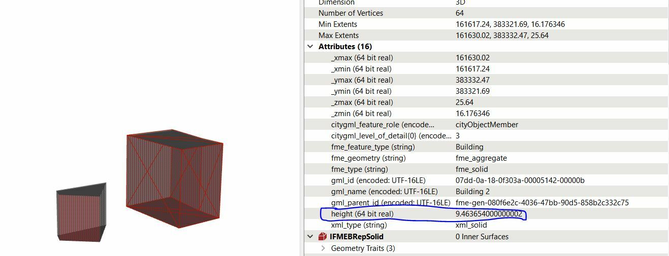
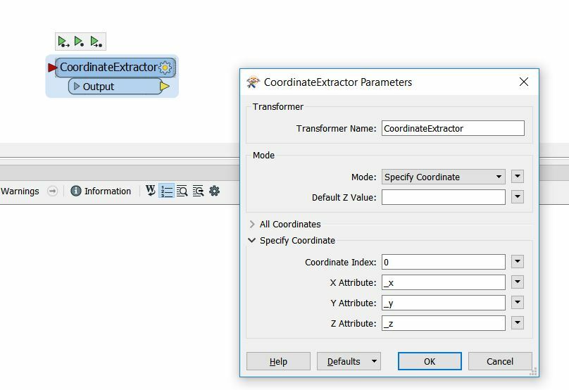
My question is: I am working with a GML file. It has uploaded in FME Data Inspector. From this file, which includes BRepSolid 3D objects, I would like to get the exact heights (as an feature). Than I want to save this data as a shapefile/geojson or something which I can than use in Qgis. Untill now I have not had any succes. Can you give me some tips or links to tutorial(s) to learn this?Topics: heights / .gml file / into writer (for example shapefile)