Question

neigborhoodfinder


franco69
Contributor
Forum|alt.badge.img+6

Hi Guys,

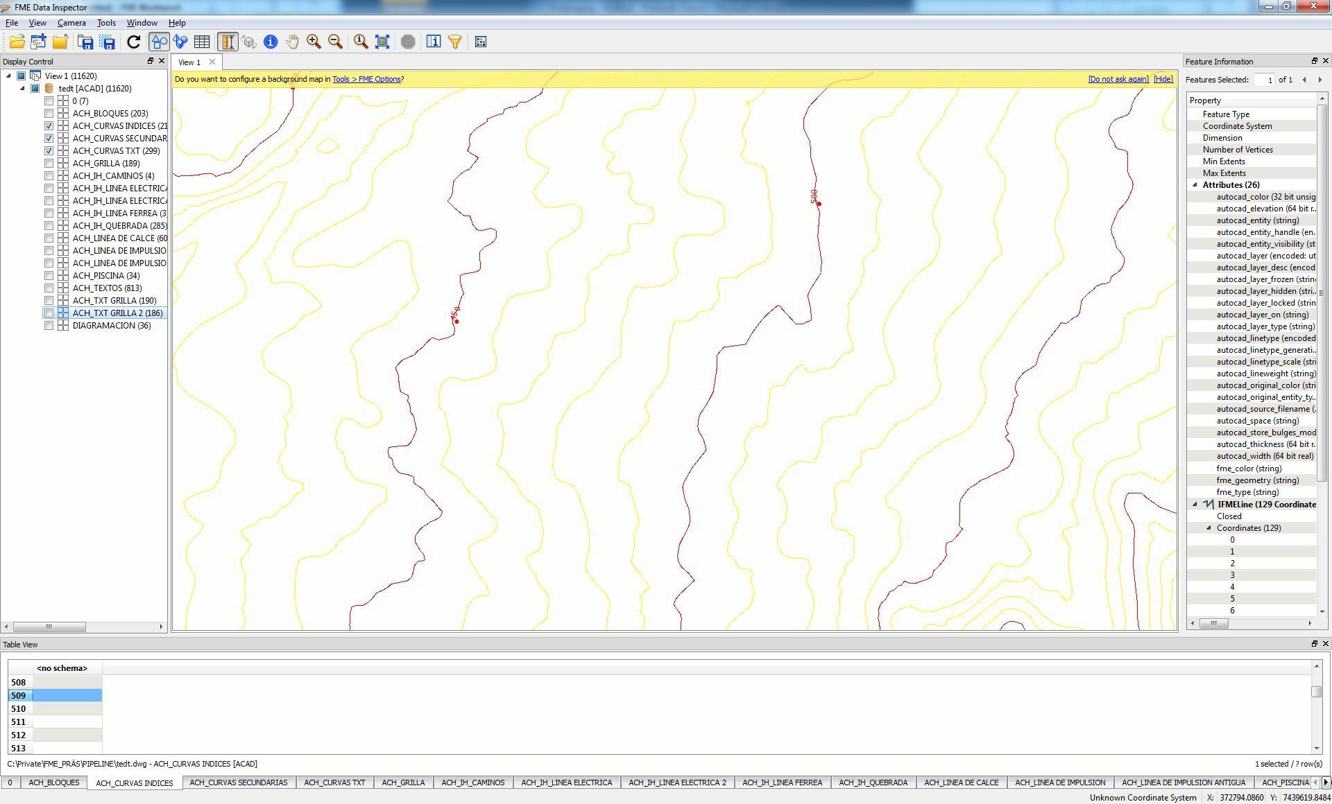
I'm fixed in a problem....i have Contour lines, but only the lines with the elevation 10, 20, 30, 40, etc....meters have attributes where this elevation is stored. the contour lines between f.example elevation 12,14,16,18,22,24,26,28,etcc...have no attributes....is there any possibility (for example with neighborfinder, sorter,etc...) to give these lines attributes with their elevation?


Thanx and greetz

Franco


2 replies

franco69
Contributor
Forum|alt.badge.img+6
  • Author
  • Contributor
  • June 12, 2015


the red ones are the lines with attributes....e.g. here 450m and 500m, and the yellow between are 460,470,480 and 490 m...so can i give them yellow lines these attributes and how?

Neighborfinder with a direction based on a mathemathical logic?

Greetz Franco


jdh
Contributor
Forum|alt.badge.img+28
  • Contributor
  • June 12, 2015

The problem with a neighbor finder based solution is saddle points and the like, when two adjacent contours have the same value. Or sheer cliffs, when multiple contours can be coincident.

I would try draping  the contour over a dem (aster or srtm if nothing else is available) and average the vertex Z values.  If you identify the known contours on either side, that limits the range the contour can be and you can drop any Z values that aren't within the range.


Reply


Cookie policy

We use cookies to enhance and personalize your experience. If you accept you agree to our full cookie policy. Learn more about our cookies.

 
Cookie settings