Hello everybody,
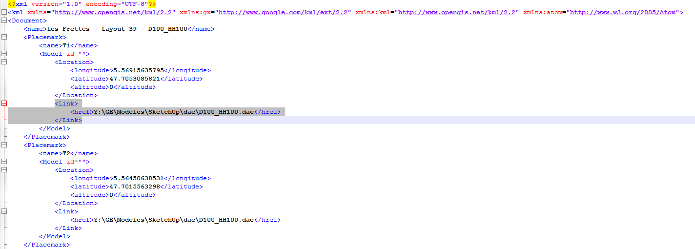
I need to create a kml file with 3D geometry in .dae format (SketchUp). The links are in the table of my source file with point geometry. I need to obtain this:

Is there anybody who knows how to do?
Thank you!
Hello everybody,
I need to create a kml file with 3D geometry in .dae format (SketchUp). The links are in the table of my source file with point geometry. I need to obtain this:

Is there anybody who knows how to do?
Thank you!
All you'll have to do is, sending 3D mesh geometry (never tried this with solids) to the OCGKML FME writer and use kmz as file format. Kmz is a zipped version of a kml that has interal links to Collada dae files like show in your screeshot. The OCGKML writer does the dae coversion together with creation of the positioning kml file out of the box.
Keep in mind that kml uses geographic coordinates! You'll have to specify correct input coordinate system so the OGCKML writer can do the correct reprojecting. The dae files itself are stored in local cartesian coordinate system, but you need not care about that as the writer does the correct positionig for you as well.
Thank you!
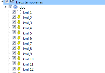
Now I arrive to write the Placemarks of the klm file, but the model and the points are separated. The model is situatuated at [0;0]. Do you know the transformer to join them?
