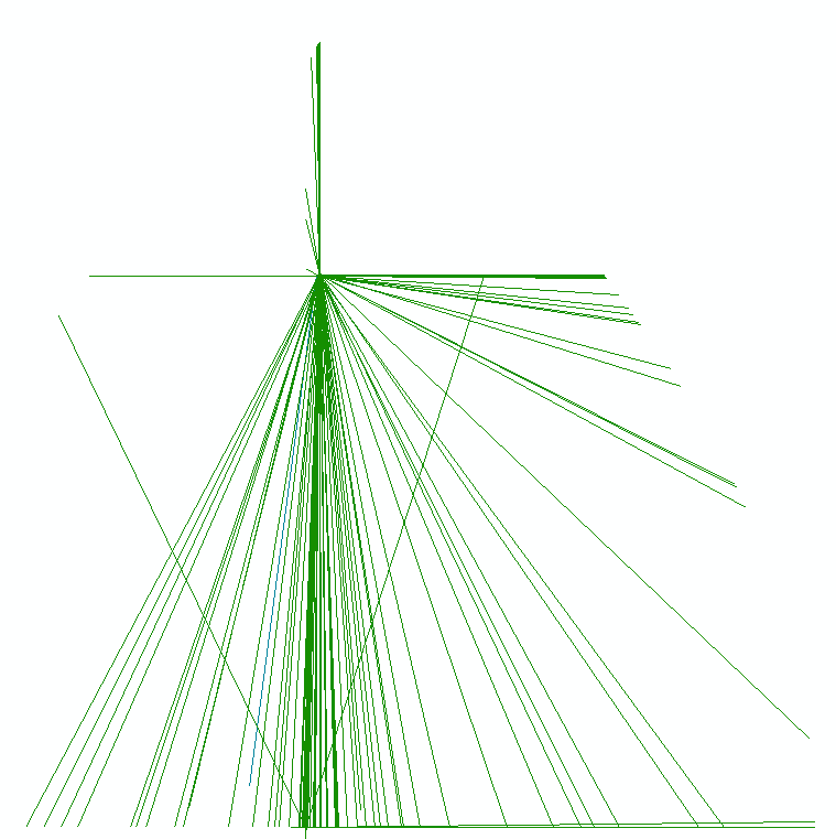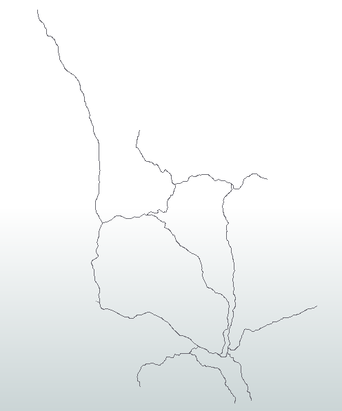


I am creating a Spatialite database with FME 2016.1 64 bit. I have both polygons and lines. Polygons shows up perfectly, but the lines are all over the place. I have added a picture showing the lines that should have depicted a road network in a municipality. Have anyone had the same experience or any idea why the lines drawn like this? I have been trying to adjust how ArcMap reads the data with the "query dialogue" but no success. My ArcGIS version is 10.3.1