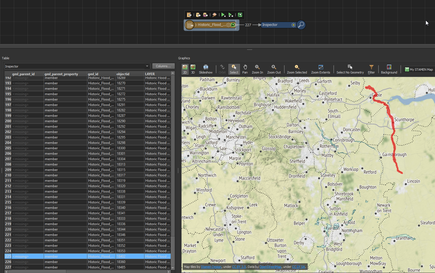
I'm having difficulty accessing data with a WFS reader.
I can read the feature types, and the translation is 'successful', but returns 0 features. I can load the WFS in QGIS too.
I've tried amending various parameters without success, including: connection timeout length, max features, ignore application schema (this worked with the previous version of the WFS), and using a search envelope.
The WFS is: https://environment.data.gov.uk/spatialdata/historic-flood-map/wfs
Would really appreciate if anyone can nudge me in the right direction!