Question
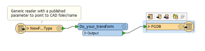
can I make a single model for any CAD file to send it as Esri file geodatabase ? ( transform some lines in CAD to polygons in GIS )
This post is closed to further activity.
It may be an old question, an answered question, an implemented idea, or a notification-only post.
Please check post dates before relying on any information in a question or answer.
For follow-up or related questions, please post a new question or idea.
If there is a genuine update to be made, please contact us and request that the post is reopened.