Hi,
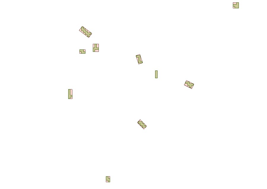
I have numerous irregular polygons which comes out from a raster extents coercer.
What I need is to determine the length along a certain degree heading as well as the width perpendicular to the length measurement for all of these polygons.
My idea was to perhaps extract a centre point in all polygons and then draw a line forward and backwards till it reaches the polygon boundary along the desired heading. The width measurement would be similar however with a 90 degree rotation to the previous line extension.
Would really appreciate if someone had some good advice on this.