


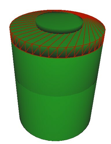
I have some Autocad data where the objects are constructed as 3D solids, like this:
 The 3D data is nice for many uses, but I would also like to extract a simplified version for our GIS databases. The Surface Footprint Replacer will generate a nice polygon, but will also remove the elevation and return 2D data.
Is there a way to get a footprint that retains the elevations of the "top face" of the solid? I most cases this face is flat, but in some cases, like ducts and pipes, this is not the case.


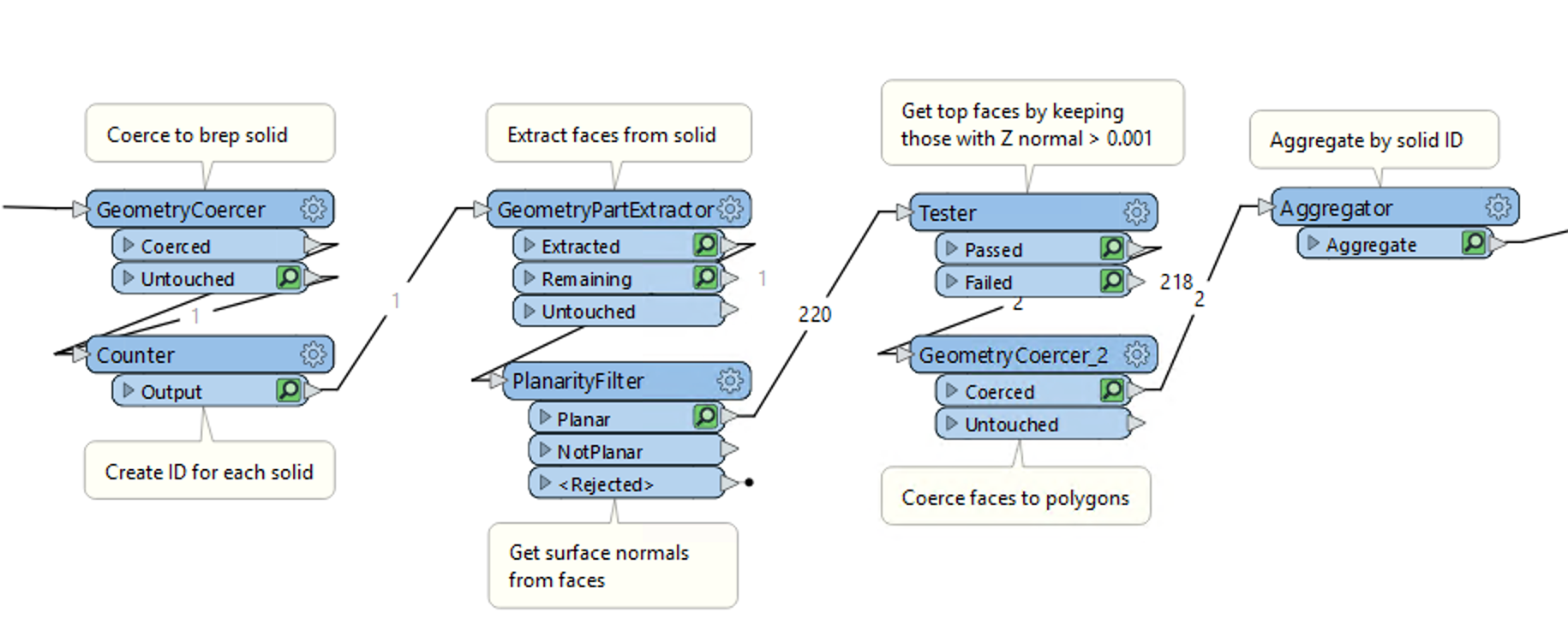 I have attached a sample workspace to illustrate the process
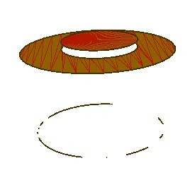
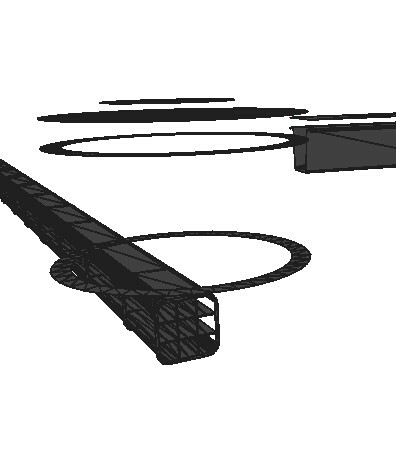
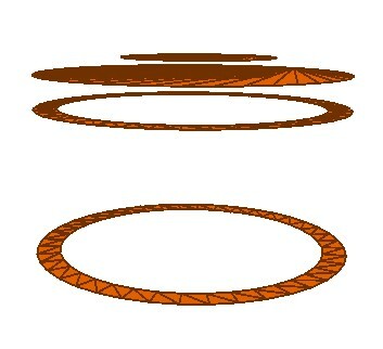 The next task would be to get rid of the lower rings (in this case). Ideally, I would want to end up with the two upper surfaces, the top circumference of the manhole and the top circumference of the manhole cover.