This post is closed to further activity.
It may be an old question, an answered question, an implemented idea, or a notification-only post.
Please check post dates before relying on any information in a question or answer.
For follow-up or related questions, please post a new question or idea.
If there is a genuine update to be made, please contact us and request that the post is reopened.
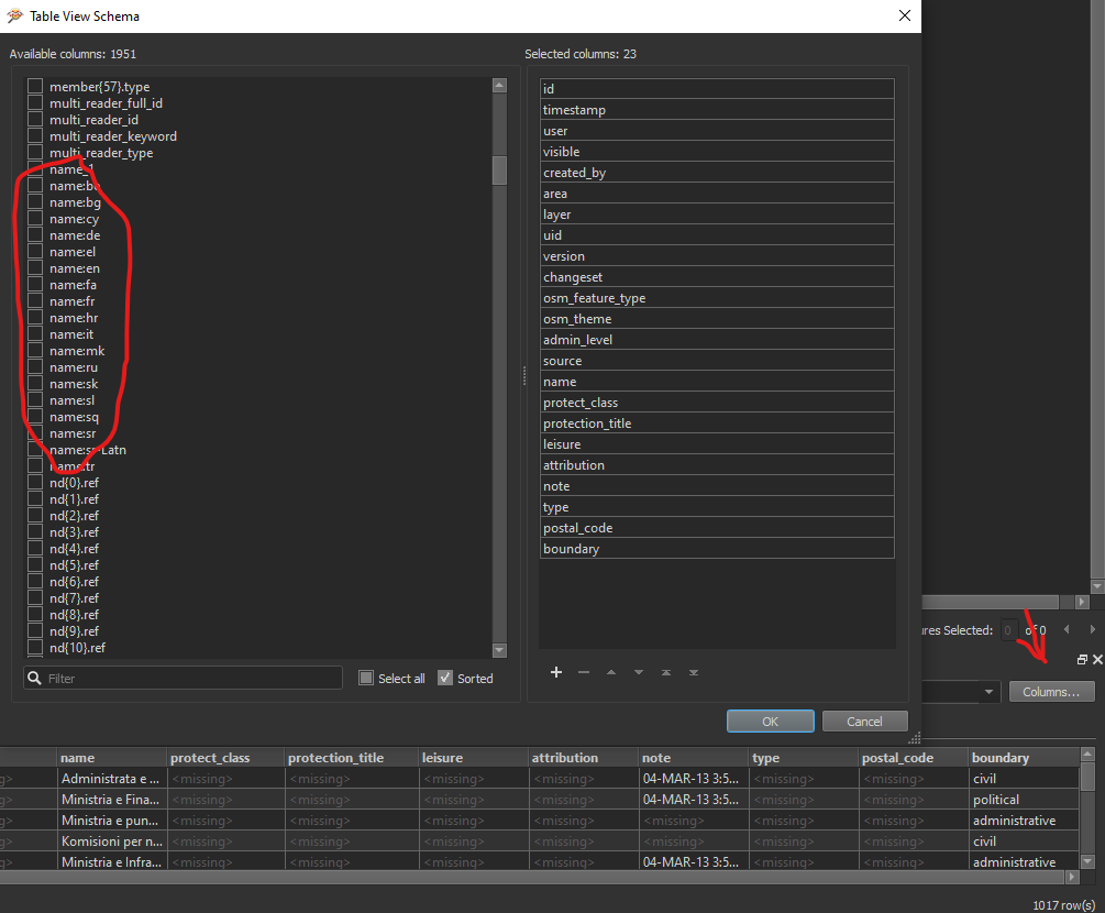
thanks for the answer, but I have still doubts. I tryied the attribute exposer without result.
Attached what I see. Probably do I some error during the loading of the dataset?
I move the dataset directly from the folder into the FME canvas and choose Openstreetmap (OSM) XML without other setting. Is it correct?
Thanks
Max
2020-02-04_16-40-32.jpg2020-02-04_16-43-01.jpg
Yes, it's the OpenStreetMap XML format and it looks like you're on the right path for the AttributeExposer. The way you've set it up will expose the name:en attribute.
However, if you add a reader for the dataset it's probably better to select the individual feature types option. That'll give you a bit more control.


")